Thanks for requesting a demo!
Thank you for your interest in Vexcel Data and for requesting a demo of our products and services. We will email you shortly to schedule a date and time.
In our meeting, we will discuss how Vexcel Data provides cutting-edge geospatial solutions that empower organizations to make well-informed decisions. We will focus on our primary offerings, including:
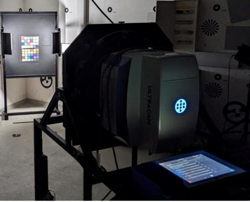
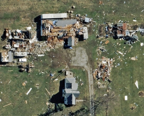
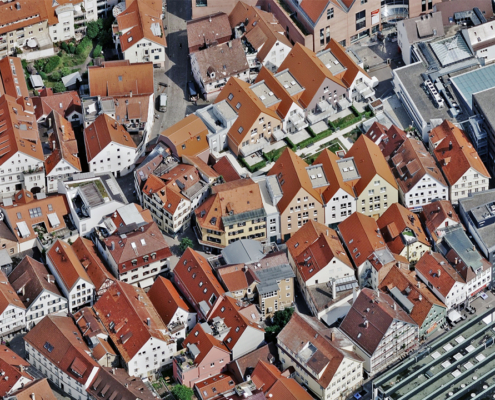
- Aerial Imagery: High-resolution aerial imagery, including accurate TrueOrtho, Oblique, and Multispectral imagery.
- Elevation & 3D Models: See all human-made and natural objects with Digital Surface Models, Digital Terrain Models, and 3D Cities.
- Property & Roadway Attributes: AI-derived datasets to inventory and track change, all extracted from our high-resolution aerial imagery.
We are committed to providing insights that enhance operational efficiency and improve decision-making. We are excited to demonstrate how our solutions can fulfill your specific needs.