The Importance of Ground Control Points and Accuracy in Aerial Imagery
Many might claim accuracy in aerial imagery but not adequately explain how it’s achieved. When we describe our aerial imagery as highly accurate and consistently reliable, there’s one driving force behind it: ground control points.
What are ground control points, and why do they matter to accuracy?
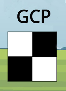
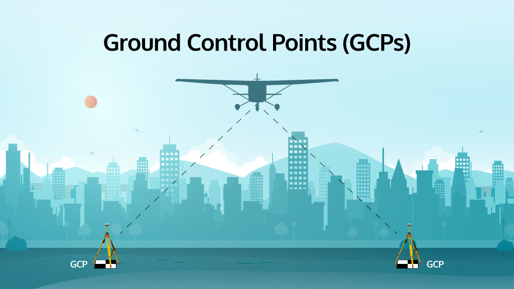
Ground control points (GCPs) are—and have been—the backbone of geospatial data production for many years. They are the way to tie imagery to actual “ground truth.” The best way to explain it is to think of it as a measuring process, where a surveyor places a tripod with advanced equipment over an object on the ground that won’t move, i.e., a manhole cover, or something easily detectable in aerial imagery with contrast, and then measures the location of that point with great accuracy. That point becomes an input and a check point when processing imagery to ensure the best final positioning of said imagery. If you want your imagery to be as accurate as possible, the GCPs should be measured to within half of the desired ground sample distance (GSD) of the imagery.
For example, with our 7.5cm ortho, we use GCPs measured to within 3.75cm or better, allowing us to nail it down to an individual pixel in our imagery.
Measuring up to accuracy standards
Some imagery companies may only use GPS/GNSS and IMU data for positional accuracy in their imagery. Without the additional benefit of GCPs, the best absolute accuracy you can achieve is typically around 40-50 cm (GSD). At Vexcel, we combine both GCPs along with GPS/GNSS and IMU data in the final bundle block adjustment in a modern, high-quality Aerial Triangulation process so that accuracy results can be less than the size of one pixel of the imagery ground sample distance.
And why does it matter to accuracy? The ASPRS Positional Accuracy Standards are built around the assumption that all geospatial products use GCPs to produce and evaluate ortho imagery, height models from imagery, Lidar, and 3D products.
David Day, VP of Shared Services at Vexcel, knows firsthand why these standards are critical to evaluating imagery as he serves on the ASPRS Board of Directors. “We understand at Vexcel the importance of meeting the standard and delivering geospatial data that can provide a high level of accuracy. It’s why we use an extensive GCP library to develop products for enhanced evaluation and better measurement.”
What sets Vexcel apart with the use of GCPs
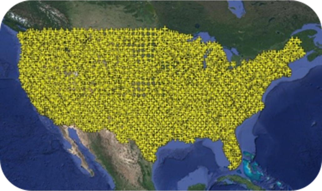
One of our company’s key pillars is delivering highly accurate data to our customers. To that end, we have one of the largest private libraries of GCPs in the U.S., with 17,683 points mapped and nearly 29,000 globally.
We also use GCPs throughout our imagery processing, and we are the only aerial imagery company that uses aerial triangulation on oblique images as a standard procedure.
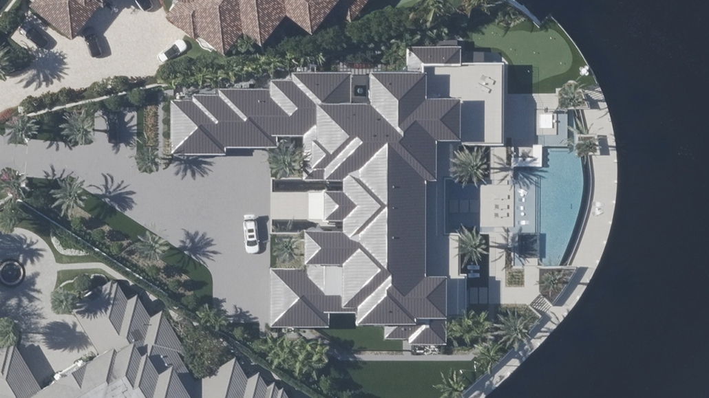
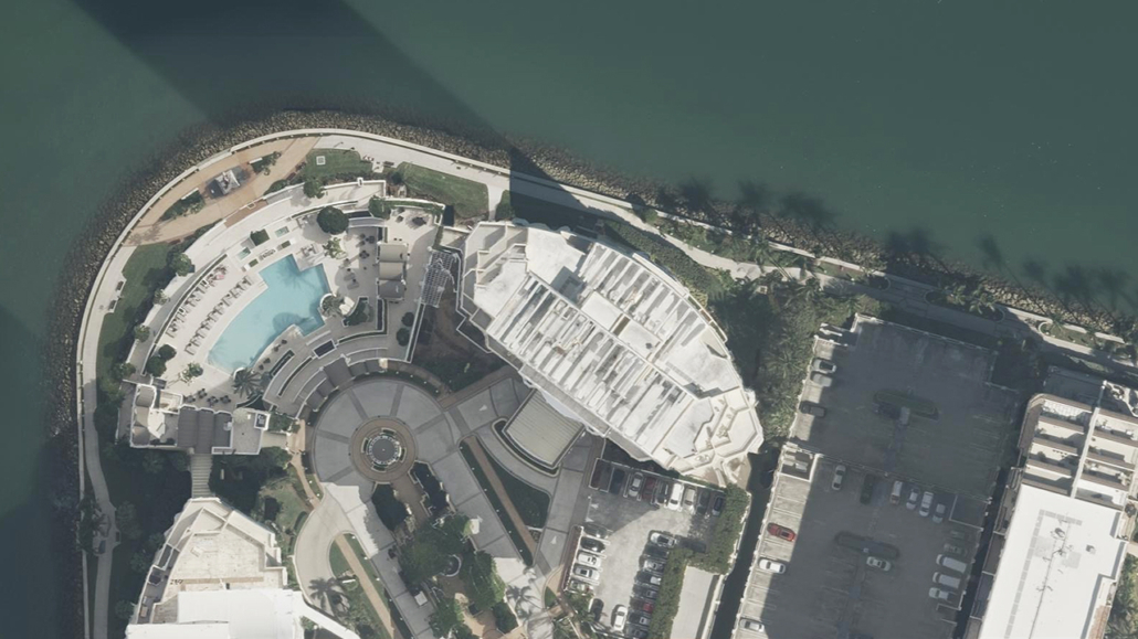
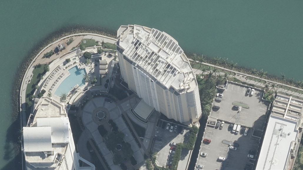
Below is an example of a building without lean and with lean, which shows how to tie imagery to ground control points for accuracy in post-processing.
Accuracy alignment across Vexcel product lines and incorporation of customer data
One of the most significant advantages of having imagery with good absolute accuracy is incorporating non-Vexcel data with Vexcel products. Customers can use our imagery as a reference for all their other datasets. When a customer overlays their existing data with Vexcel data, the common reference between them is true ground location. The chance of them experiencing minimal errors and getting more accurate results is made more achievable thanks to the pixel-to-data match across our product line.
“Since all of our data products are derived from the aerial imagery, we have very small errors in between the products,” says Magnus Olson, Chief Data Officer at Vexcel. “This is very helpful in eliminating false positive detections when running AI or ML algorithms on our data, and it helps our customers achieve better results.”
Consider consistency and accuracy across product lines through this urban planning use case: Someone wants to dig a trench and must be careful not to hit a gas line or some other underground object. Unless you know how accurate your map data is, you can very easily dig in the wrong place, thereby creating and causing significant problems, not to mention project delays or costly rework. Combining your data with Vexcel’s highly accurate imagery can make you more confident in where you dig and why.
At the end of the day, accuracy DOES matter
When using aerial imagery, you can gain greater peace of mind by knowing the imagery you’re working from has been matched against GCPs. The higher the absolute accuracy, the higher the trust and confidence in what you’re seeing, building, and ultimately creating across your projects. Connect with our team today to see your area in greater accuracy.

