2025 U.S. Collection Update
Vexcel expands 2025 Collection Goal and Stays on Track
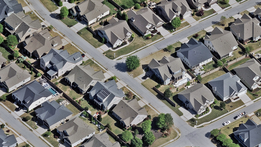
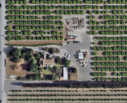
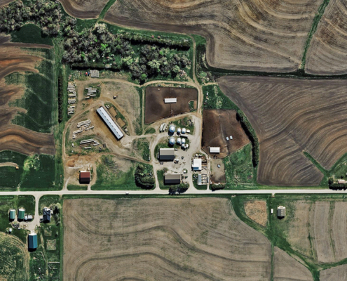
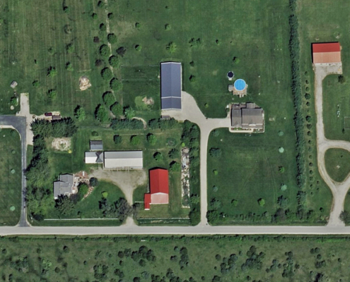
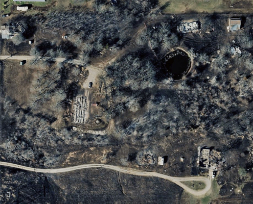
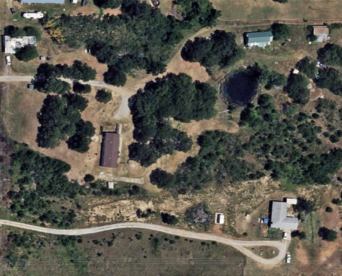
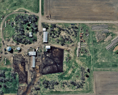
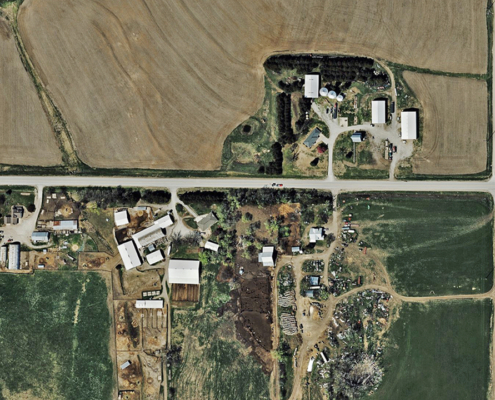
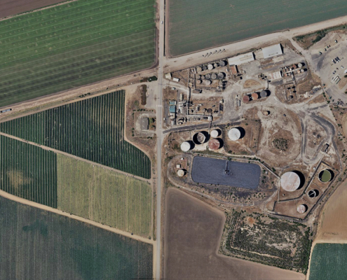
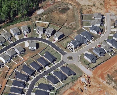
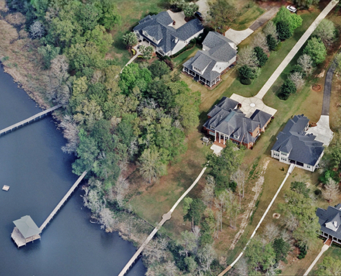
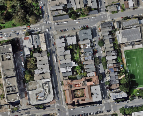
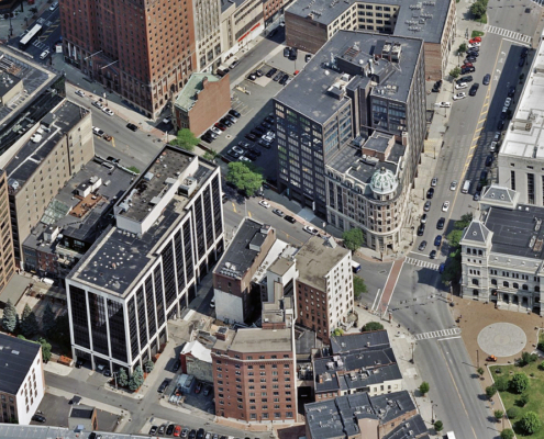
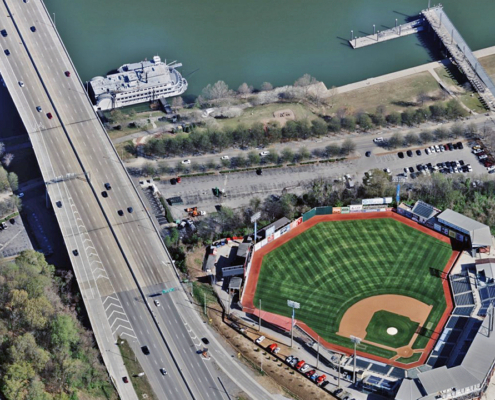
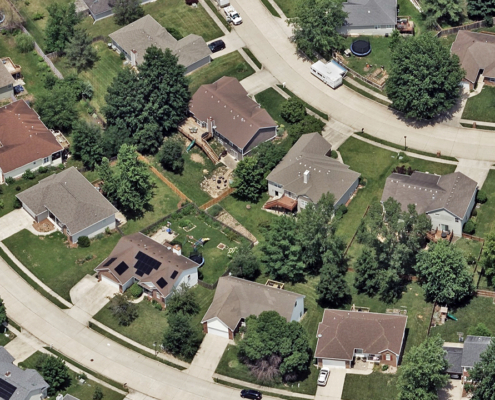
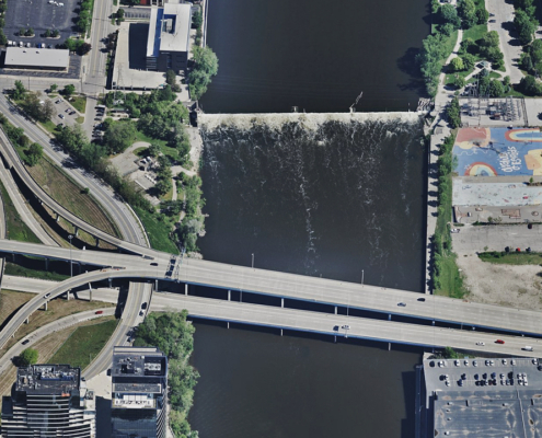
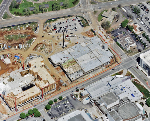
Vexcel is on target with its 2025 U.S. aerial imagery collection goals and has expanded its goal to capture even more coverage this year. Our three U.S. aerial collection programs—Urban Area Prime, Urban Area Refresh, and Wide Area—deliver imagery and geospatial data with high resolution, high quality, and consistency. Urban Area programs result in published 7.5cm aerial imagery, while Wide Area is published at 15cm resolution.
Vexcel is a little more than halfway through the year, and operations and flight teams have been busy executing our biggest annual collection plan for the U.S. Building a program that captures aerial imagery from bustling cities to rural areas requires extensive logistics, careful planning, dozens of aircraft and UltraCam sensors, skilled crews, and a bit of luck with the weather.
What Vexcel Planned to Collect in 2025 and Where We Are Now
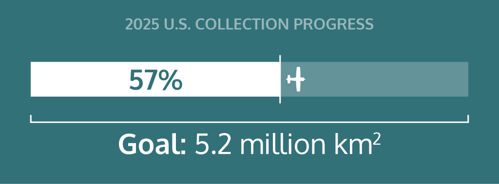
Earlier this year, Vexcel announced plans to capture 5.1 million km² of aerial imagery in urban and rural areas across the contiguous U.S. and urban areas in Hawaii, refreshing the aerial imagery library for 93% of the U.S. population. The plan included 1.6 million km² at 7.5cm resolution and 3.5 million km² at 15cm. The updated goal is now 5.2 million km², expanding the 15cm collection by 100,000 km² for a total of 3.6 million km².
As of July and according to our flights operations teams, Vexcel is right on track. The busiest collection season is underway in many parts of the country, where optimal sun angles and longer flying days allow aircraft crews to capture more aerial imagery with UltraCam Osprey and Condor sensors.
“Our collection for the Wide Area program is more than halfway done,” said Mike Hernandez, Sr. Program Manager, Flight Operations at Vexcel. “Getting broader coverage in urban and rural areas is critical for our customers and sets us apart from other providers.”
Build Your Imagery Library with Data from Vexcel
With its U.S. Collection and other programs, Vexcel helps organizations of all types improve their view with accurate, detailed aerial imagery and derived products. In addition to traditional imagery use cases, the data is optimized for new AI applications, enabling faster analysis, deeper insights, and more informed decisions. From urban neighborhoods to rural backroads, the goal is to provide the geospatial imagery and data that power better decisions, safer communities, and smarter planning.

