We‘re Big in Japan: Vexcel’s High-res Imagery Brings Cities to Life
When you think of Japan’s stunning cityscapes—Tokyo’s neon maze, Osaka’s energetic sprawl, or Kyoto’s historic elegance—it’s easy to get lost in the awe. But what if you could really zoom in and explore these cities in ultra-high detail? That’s exactly what Vexcel makes possible with our aerial imagery and 3D Cities data.
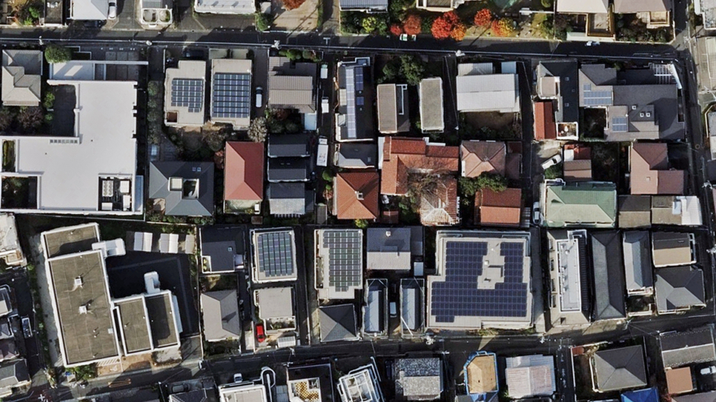
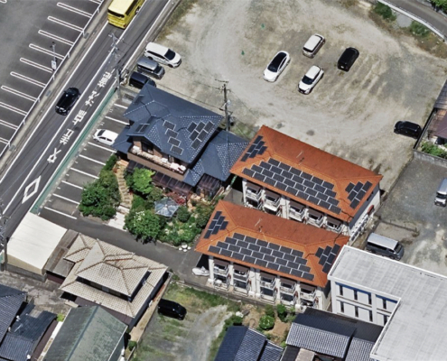
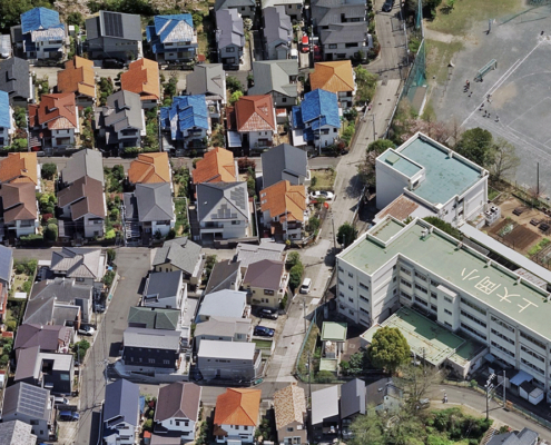
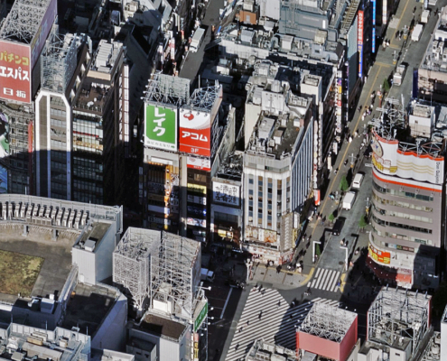
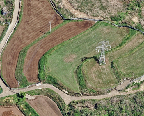
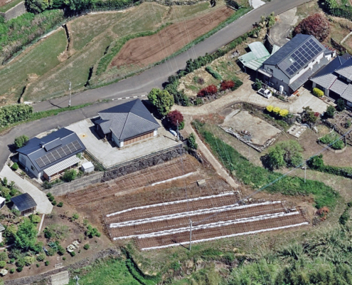
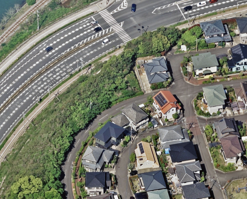
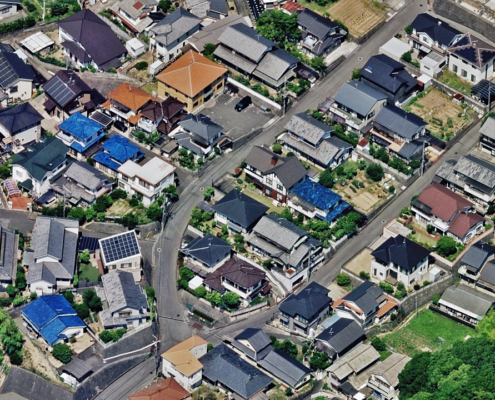
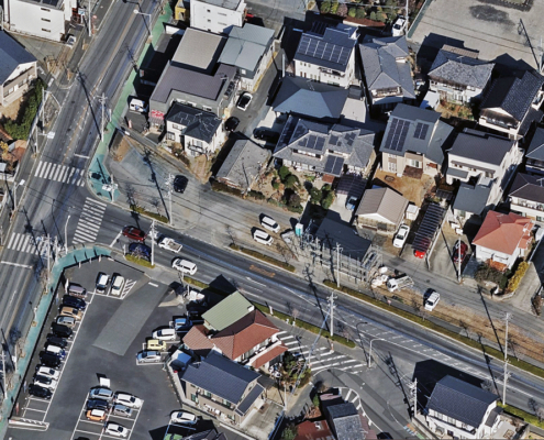
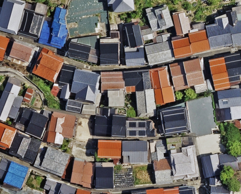
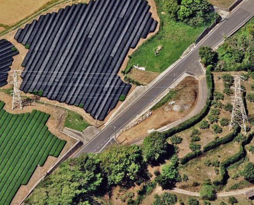
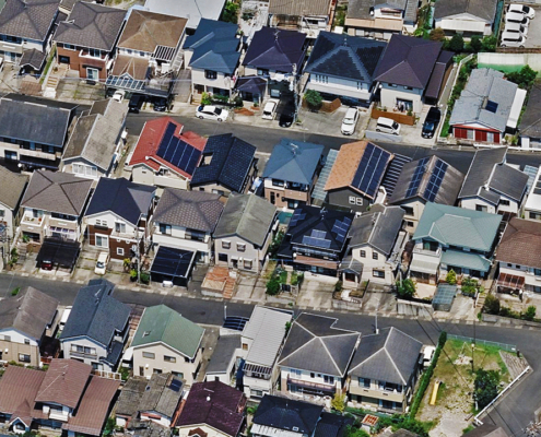
We collect stunning aerial imagery across 25+ major metro areas in Japan, captured at a crisp 7.5cm resolution. That means you’re not just seeing rooftops—you’re seeing rooftop details. The shape of a solar panel, the curve of a rail line, the texture of a building’s façade—this is the kind of detail that brings maps to life and decision-making into sharp focus.
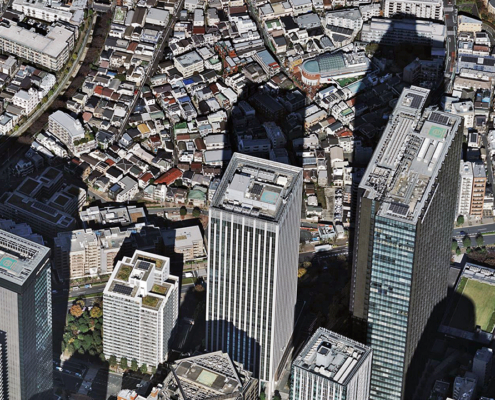
And since we collect with our UltraCam Osprey, you get detailed views from multiple imagery products like our TrueOrtho, Oblique, DSM, and Multispectral offerings.
And we don’t stop there. With 3D Cities available in several Japanese metros, we give users the power to move through space, not just look from above. These realistic city models offer a digital twin experience, where every building, road, and tree is rendered in 3D textured mesh for maximum spatial awareness.
Want to know exactly where we fly? Check out our Japan coverage map, which shows precisely where we collect imagery so you can pinpoint the areas that matter most to your business or organization. From Hokkaido to Kyushu, we’ve got a growing footprint of data you can trust.
“Our coverage in Japan is extremely solid, especially considering the many challenges that surround it like unpredictable weather and challenging topography,” says Ezra Philipse, VP, International Flight Operations at Vexcel. “We have a tight collaboration with our collection team over there and what we’re able to capture across these major urban areas represents a huge portion of the Japanese population. And our plans to collect more imagery to service our customers just continue to grow.”
So, what can you do with this powerful data?
- Urban Planning: Visualize the real-world layout of streets, neighborhoods, and development zones before making major planning decisions. It’s ground truth—without boots on the ground.
- Telecom Optimization: Better plan and model line-of-sight for 5G deployments and network expansions using highly accurate height data and 3D terrain.
- Utility Monitoring: Detect infrastructure changes, monitor rights-of-way, and identify vegetation encroachment with imagery you can trust, collected consistently and clearly.
With Vexcel, Japan’s cities aren’t just places on a map—they’re dynamic, data-rich environments ready to be explored, analyzed, and understood like never before. Whether you’re modeling a smart city, planning the next telecom rollout, or monitoring assets across a utility grid, Vexcel gives you the clarity to move forward with confidence.
Ready to experience Japan with highly accurate imagery? Dive into our data and see what you need to see, pixel by pixel.

