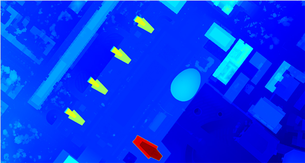
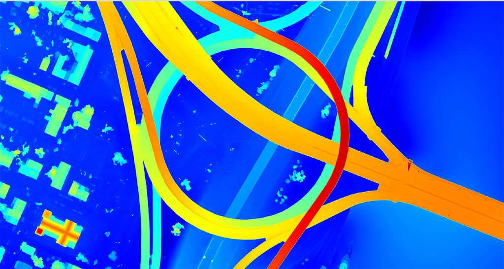
Evaluating DSM and its Origin Source: LiDAR or Photogrammetry
A quick look at Digital Surface Models and why you might choose one source over the other

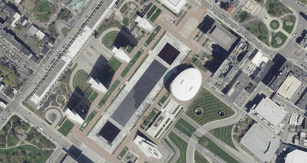
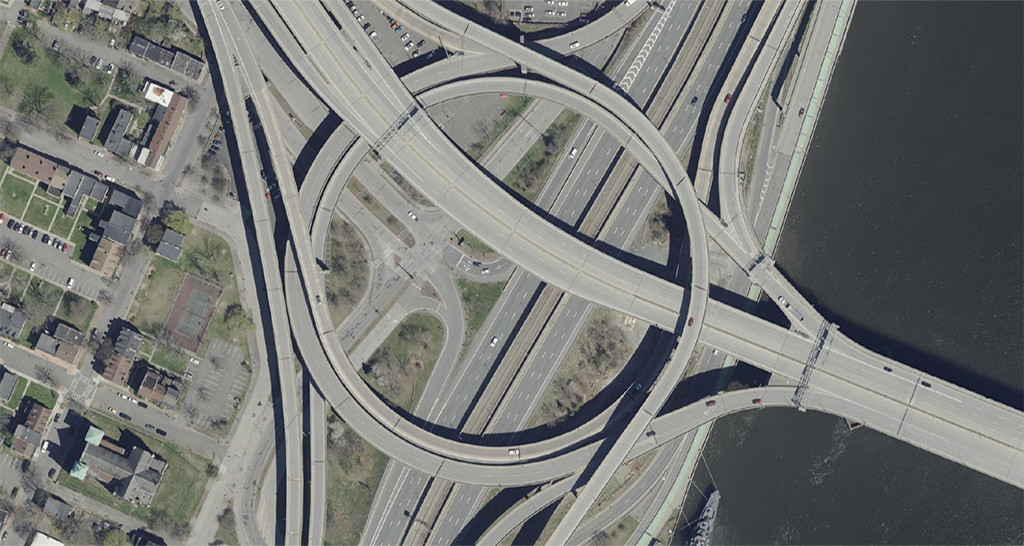
When it comes to getting a clear picture of the Earth’s surface—whether you’re in insurance, utilities, solar, telecom, or transportation—Digital Surface Models (DSM) are a key dataset for solving problems and making informed decisions with valuable elevation information.
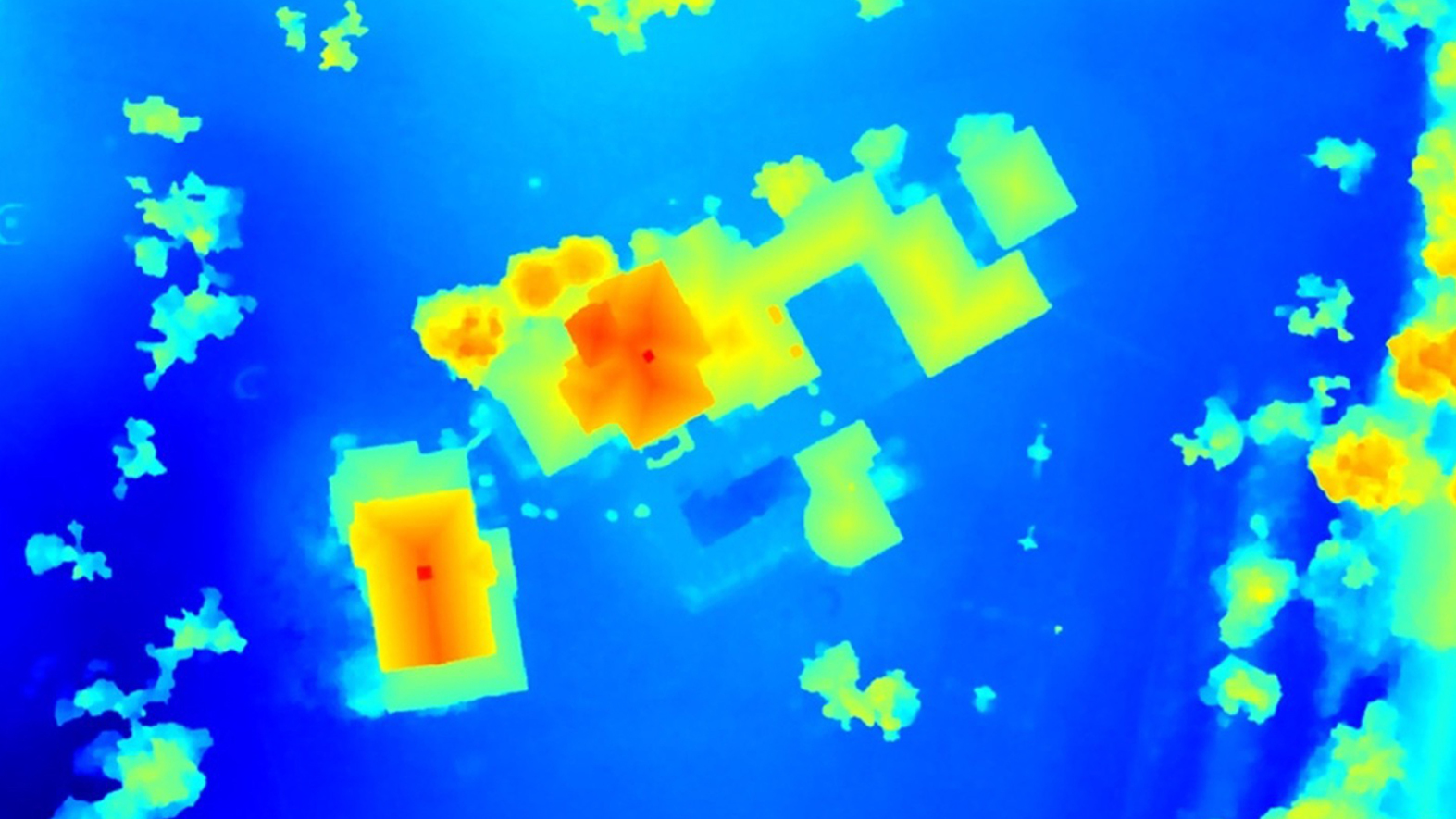
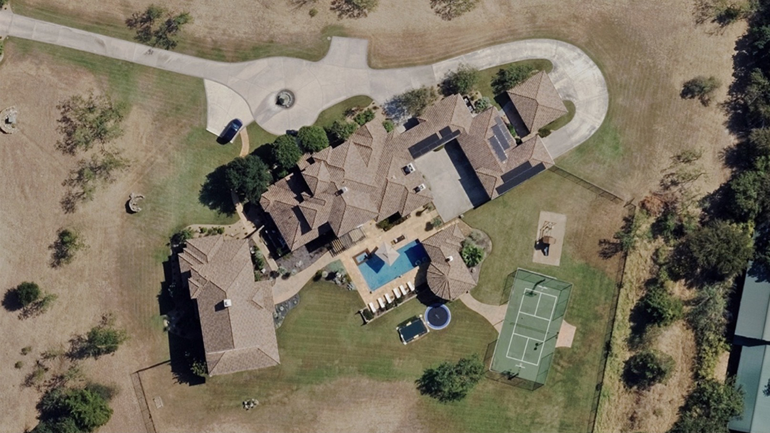
What elevation information are you after? The height of a building, vegetation encroachment near power lines, detailed outlines of roads or railways? DSMs provide a highly accurate 3D representation of the Earth, allowing for more detailed analysis to support better planning, risk assessment, and decision-making for multiple industries.
DSMs can be created from both LiDAR (Light Detection and Ranging) and photogrammetry sources. As a leader in aerial mapping and processing technology, Vexcel designs both photogrammetric and hybrid (photogrammetric and LiDAR) sensors, giving us deep expertise in the DSM products derived from these specialized sensors.
With this expertise, we’re offering insight and a comparison of LiDAR and photogrammetric DSM to help you answer a common question from customers around elevation data: what do I get with LiDAR or image-based DSM data and how can they best serve my needs?
Breaking Down How LiDAR and Image-based DSM Work
To better understand which source of elevation data you may choose to work with, it helps to first get a quick sense of how they are created. This piece focuses on data collected with fixed-wing aircraft and how both types provide a level of detail about what exists on the ground.