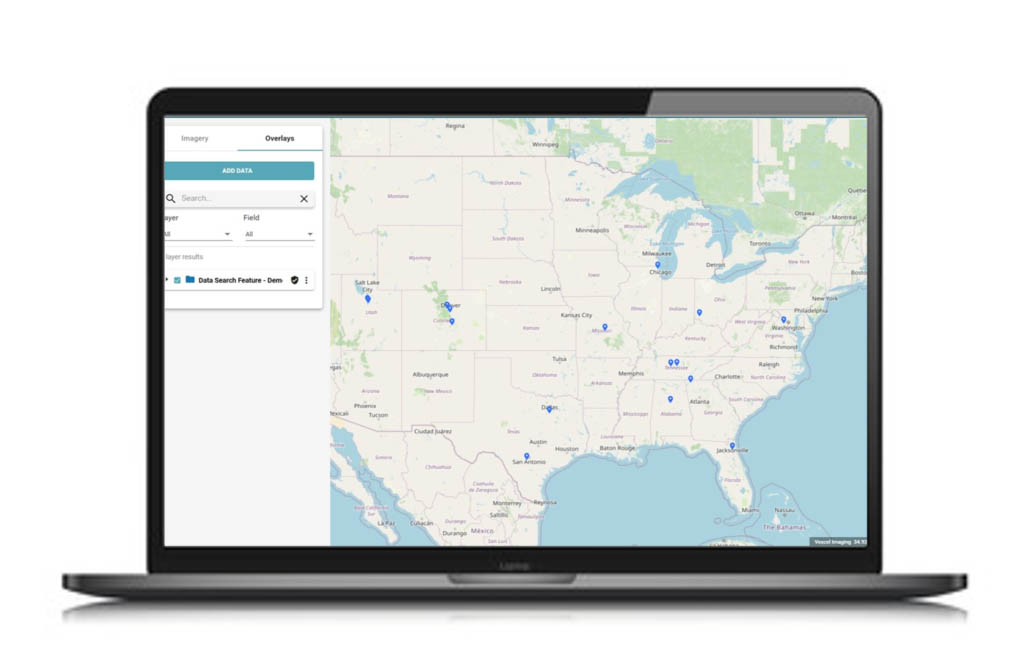
New Data Search Functionality in Viewer
If you’ve been inside Viewer recently, you may have discovered a new Data Search Feature under the Overlay tab within the Layer set. It’s part of our effort towards constant innovation to improve the customer experience.
Location Search vs. Data Search
The main difference between these two search functionalities is that Location is centered on an actual address, point of interest, or geographic coordinates (latitude/longitude). With Data Search, you are able to extract additional insights by searching for and zooming into different features in data imported into Viewer. You can upload two different file types: .CSV or shapefile. CSV files need to be specifically formatted with “lat” and “lon” as column headers and the latitude/longitude values in decimal degrees. Shapefiles should be projected in WGS 84 (ESPG: 4326) for optimal results.
Practical Applications
How will Data Search help you with your workflows? Below are a just a few industry examples to highlight this added functionality.
- INSURANCE
- Insurers will have the ability to search policy and/or claim information as an overlay to our imagery. Claims and Underwriting departments will greatly benefit from this feature for their PIFs.
- GOVERNMENT
- Government entities will be able to upload local information pertaining to taxes, change-over-time, custom requests and other property information to enhance their job workflows.
Try it out today and see what data you can extract to help improve your project workflows. You can also learn more about Viewer here.


