
Vexcel Announces the First Nationwide U.S. Aerial Imagery Program at 7.5cm Resolution
The new program will deliver an unprecedented level of imagery and elevation detail across rural and urban areas of the United States for AI, mapping, government, insurance, infrastructure, and other industries.
CENTENNIAL, Colo. (June 2, 2026) — Vexcel today announced plans for the first nationwide U.S. aerial imagery program at 7.5cm resolution, with collection scheduled to begin in January 2027.
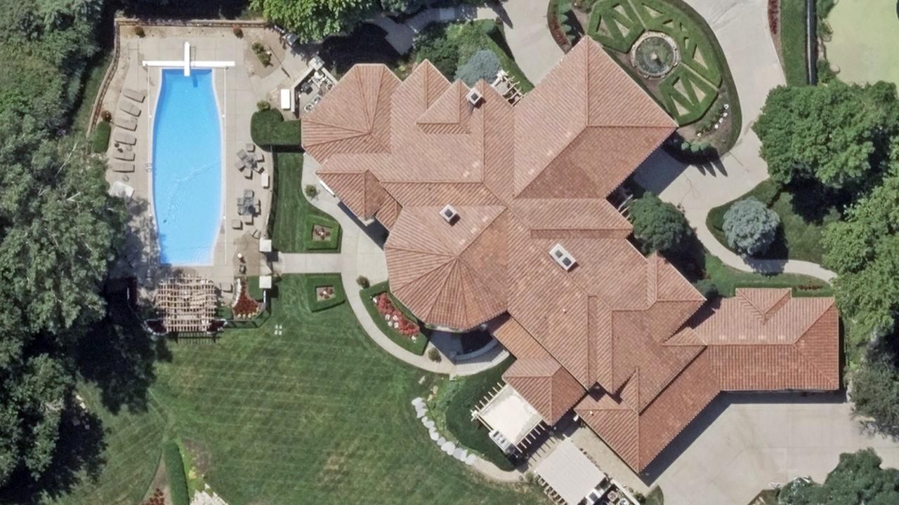
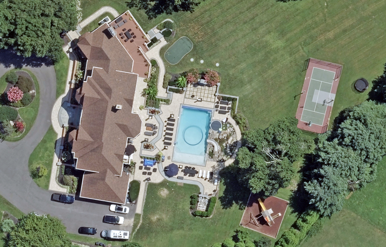
The new collection program will double the resolution of Vexcel’s nationwide Wide Area Program from 15cm to 7.5cm. As organizations increasingly rely on AI and geospatial analytics to understand and analyze the physical world, access to highly detailed, current imagery at national scale has become increasingly important.
Powered by advancements in Vexcel’s latest generation of UltraCam sensors and processing technology, it will deliver significantly more pixel detail across the Lower 48 states while maintaining Vexcel’s longstanding standards for accuracy and consistency.
Unprecedented Resolution at Nationwide Scale
The first nationwide 7.5cm-resolution Wide Area Program will combine unprecedented detail, scale, and refresh rates. Together with Vexcel’s Urban Area collection programs, it will provide:
- 16 times more pixel detail per square meter than the highest-resolution true-pixel commercial satellite imagery available today (30cm), with substantially more detail than most satellite products on the market
- 4.8-5 million km² collected annually across the United States at 7.5cm resolution
- 48 states covered with consistent 7.5cm imagery across both rural and urban areas
- 4 times more 7.5cm coverage than any other U.S. aerial imagery program
- 90% of the U.S. population refreshed twice annually
- 96% of the U.S. population refreshed at least once annually
The new program will produce seamless orthomosaic imagery and multispectral imagery at a national scale. It will also generate a nationwide digital surface model (DSM) aligned to the ortho imagery, creating the most detailed elevation dataset ever assembled across the contiguous United States.
In addition, these datasets will fuel Vexcel Intelligence and Elements AI-derived datasets, allowing customers to extract vector datasets and use natural language to find, understand, and analyze the physical world. Vexcel will also continue its Urban Area Prime Collection Program, providing oblique imagery and additional geospatial data products in major U.S. cities.
Foundational Data for AI and Other Industries
The more detailed nationwide collection will support a surge of real-world applications across AI, mapping, government, insurance, utilities, infrastructure, and technology.
This isn’t the first time Vexcel has pushed the limits of nationwide aerial mapping. While part of Microsoft in 2010, Vexcel pioneered the world’s first seamless nationwide aerial mapping program for the United States and Europe at 30cm resolution. In 2018, Vexcel launched a nationwide 20cm aerial imagery program. In 2022, the company increased the program’s native resolution to 15cm. The move to 7.5cm marks the next evolution of coast-to-coast aerial imagery in the U.S.
Another breakthrough from the latest generation of UltraCam technology will benefit Vexcel’s Gray Sky Program. The increased collection capability will dramatically expand the amount of imagery that can be collected in the critical hours and days following hurricanes, tornadoes, wildfires, and other catastrophic events. For example, collecting imagery covering up to 75% of Florida’s population in a single day after a major hurricane is now feasible.
“For more than two decades, Vexcel has pushed the boundaries of what’s possible in large-scale aerial imagery,” said Erik Jorgensen, Group CEO of Vexcel.
“We helped pioneer seamless nationwide coverage at 30cm, expanded it to 20cm and then 15cm, and now we’re taking the next step with 7.5cm imagery across the contiguous United States. As AI models and digital systems increasingly depend on accurate and high-fidelity representations of the physical world, this program will provide a new foundation for understanding places, infrastructure, property, and change at national scale.”
Jorgensen added that the United States is only the beginning. Vexcel will also look to expand its new 7.5cm mapping program across Europe, where it already maintains country-wide aerial imagery coverage across 20+ countries at 15cm resolution.
Collection plans, coverage details, and product availability will be announced as the new Wide Area Collection Program approaches launch.

