This post originally appeared on GIC.org.
Together, Vexcel and GIC have fully aligned their strengths to streamline efforts and enhance innovation, while continuing to provide the high-quality aerial imagery and coverage that insurers trust.
This post originally appeared on GIC.org.
Together, Vexcel and GIC have fully aligned their strengths to streamline efforts and enhance innovation, while continuing to provide the high-quality aerial imagery and coverage that insurers trust.
On March 25, 2021, severe weather began to take hold across several parts of southeastern Alabama, resulting in massive hail storms and devastating tornadoes that caused significant damage, including loss of life. The GIC activated the Gray Sky team to monitor the events and quickly concluded that these storms would require coverage to help emergency managers and GIC member insurers respond to the impacted communities.
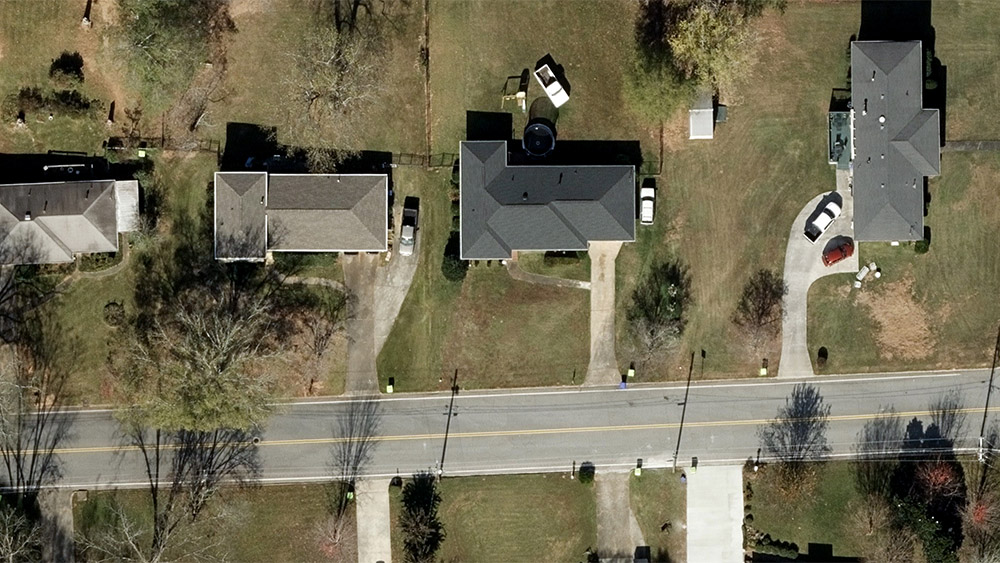
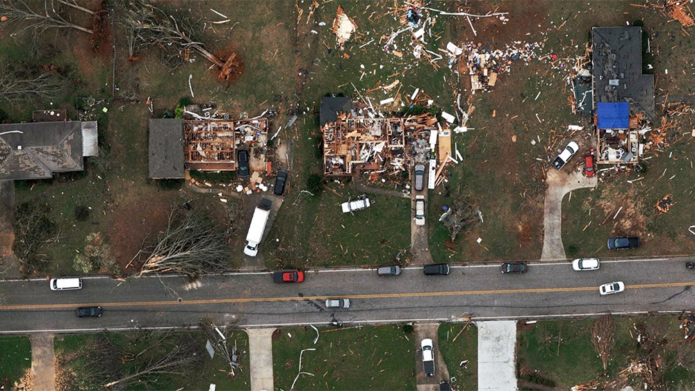
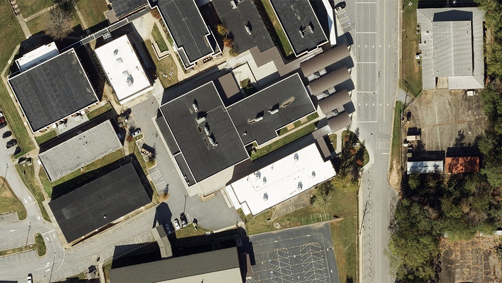
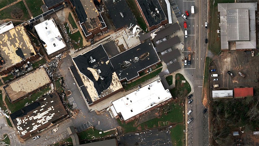
Our pilots collected oblique and ortho imagery at various points along the path of multiple tornadoes. High-resolution oblique imagery will provide further assistance to those needing to measure damage to structures not completely destroyed and to offer multiple views of each property. Ortho imagery offers a birds-eye wide area view to help understand the scale of the destruction. This imagery has been processed and is now available to GIC members.
Below are some of the images the Gray Sky team collected in the aftermath of the storms, stretching along Calhoun County, Alabama and on into Newnan, Georgia. The destruction was particularly harsh in Newnan with a massive tornado causing EF-2 (111 – 135 mph) levels of damage, shifting homes completely off their foundation, removing roofs, and demolishing mobile homes.
As always, the GIC is committed to capturing and sharing information to our members within 24-48 hours after collection. It’s part of our promise to provide post-CAT imagery that empowers emergency managers and our member insurers to respond as efficiently as possible to help those in the greatest need.


 Vexcel Data ProgramWebinar: Supercharge Your Location Intelligence with Digital Surface Models