Alaska Just Got Easier to See and Understand from Above
New collection program delivers high-resolution aerial imagery and geospatial data products to the Last Frontier’s largest cities.
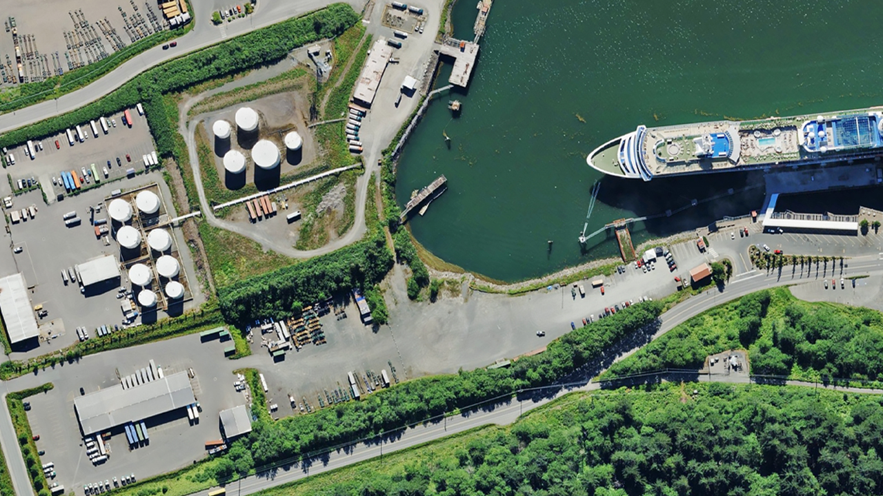
Insurers pricing risk. Government agencies planning infrastructure. Oil and gas operators monitoring remote assets. Engineers, surveyors, GIS analysts mapping land use and infrastructure. All of it runs on high-resolution aerial imagery.
It’s also what those teams’ AI and analytics tools depend on. The quality of the high-resolution aerial imagery underneath determines the quality of the intelligence built on top of it. With Vexcel’s high-resolution aerial imagery and Intelligence now covering Fairbanks, Anchorage, and Juneau, now that’s possible.
New Coverage: Fairbanks, Anchorage, and Juneau
Vexcel now has high-resolution aerial imagery coverage of all three cities: 7.5cm-resolution TrueOrtho, Oblique, Multispectral imagery, plus Digital Surface Models (DSM). More at: vexceldata.com/ak
“Adding Alaska completes our imagery coverage in all 50 U.S. states, a significant milestone for the Vexcel Data Program. With coverage spanning more than 45 countries worldwide, it’s another step in our commitment to delivering consistent, high-quality imagery at scale,” says Mo Durgham, Vice President of Vexcel’s National Data Program.
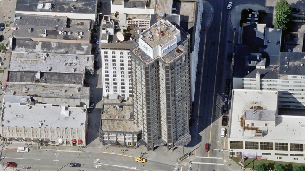
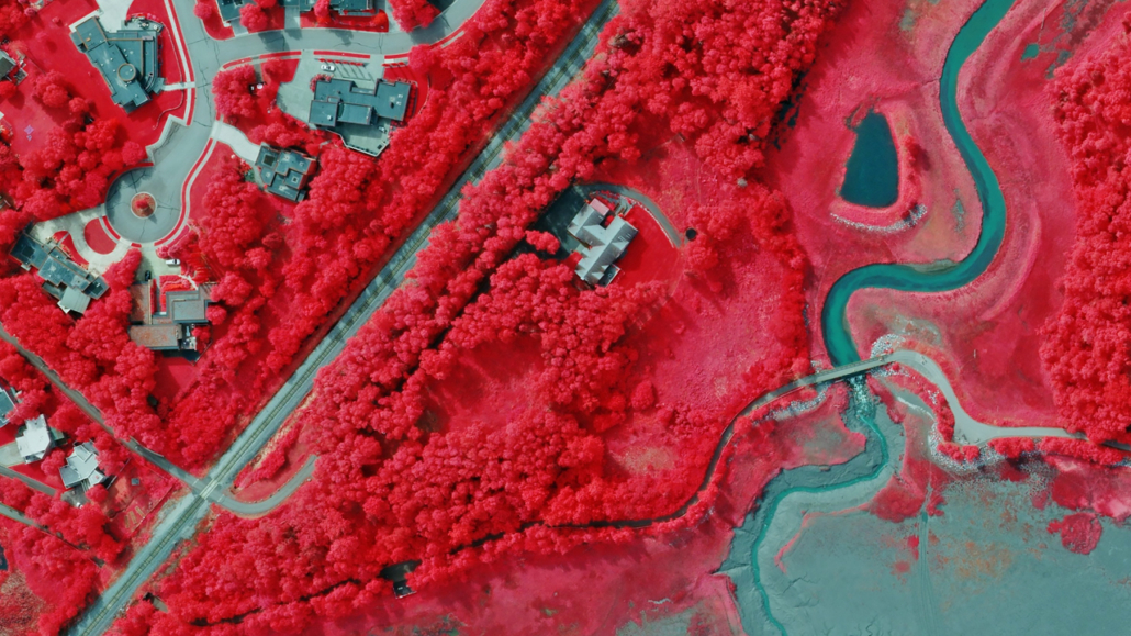
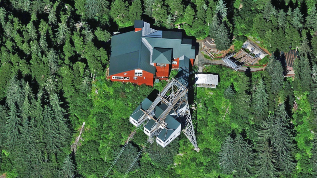
Vexcel Intelligence, Now in Alaska
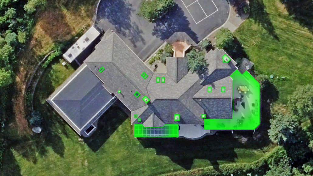
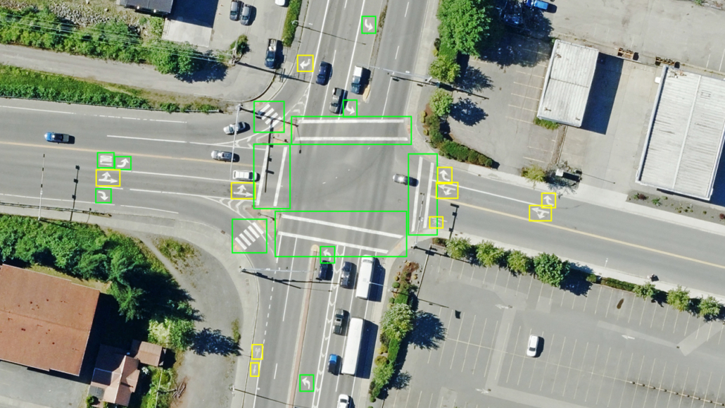
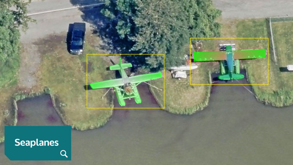
That imagery powers Vexcel Intelligence, Vexcel’s real world AI: Elements: Building & Property attributes, on-demand Roadways attributes, Custom Elements object detection, and Semantic Search—the ability to search our embeddings with plain language queries.