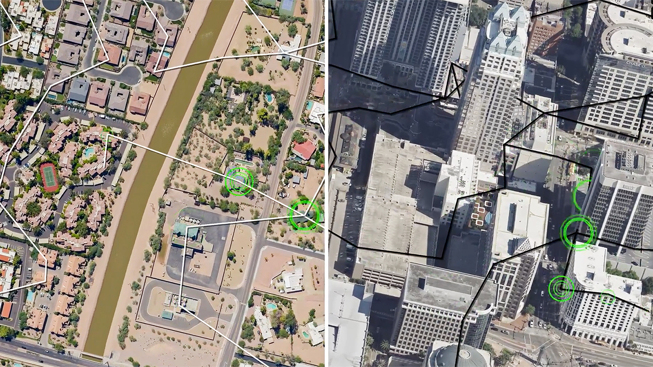
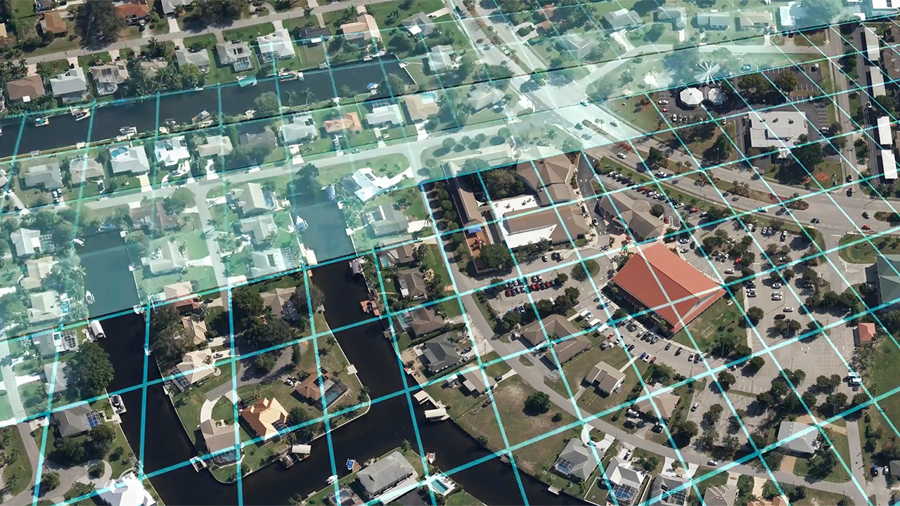
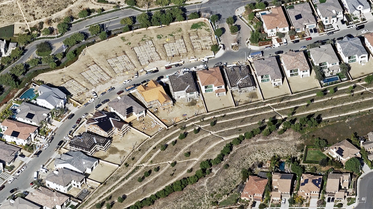
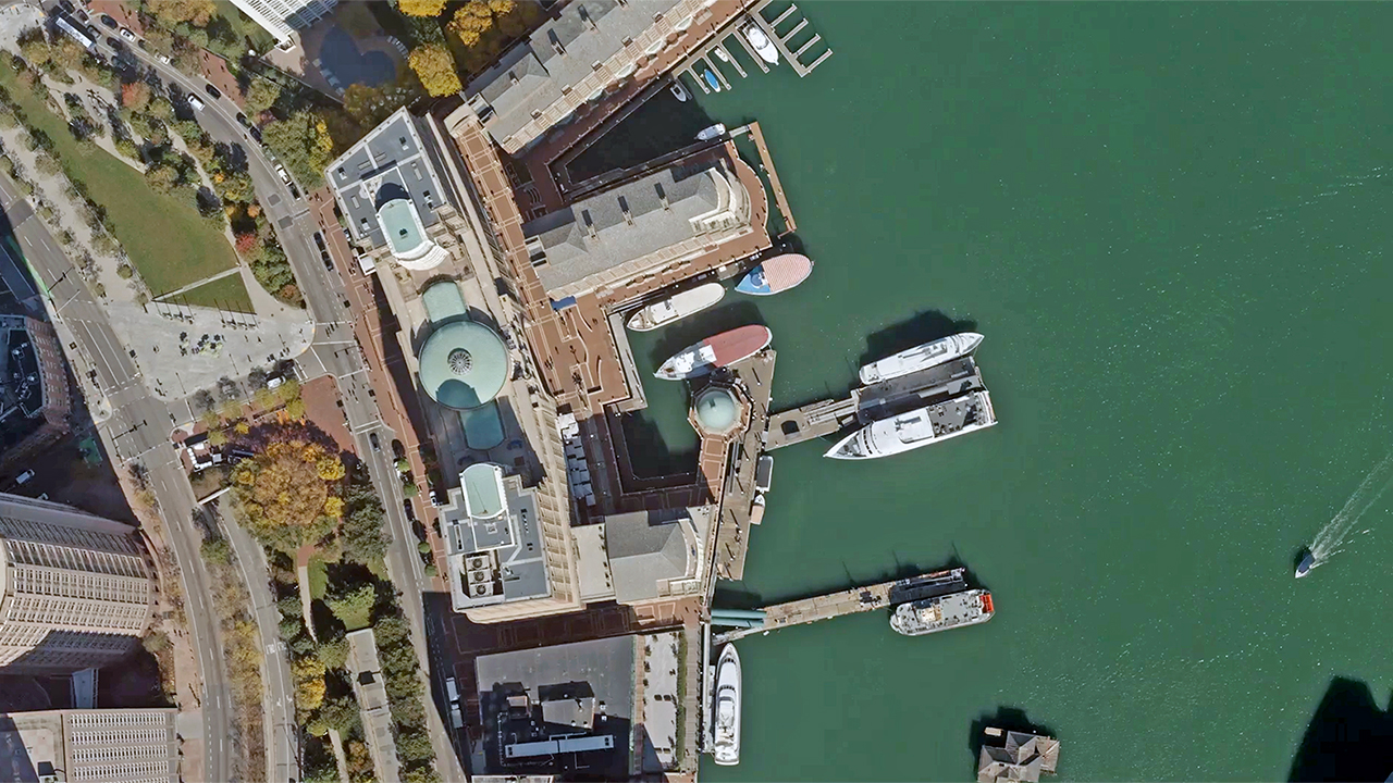
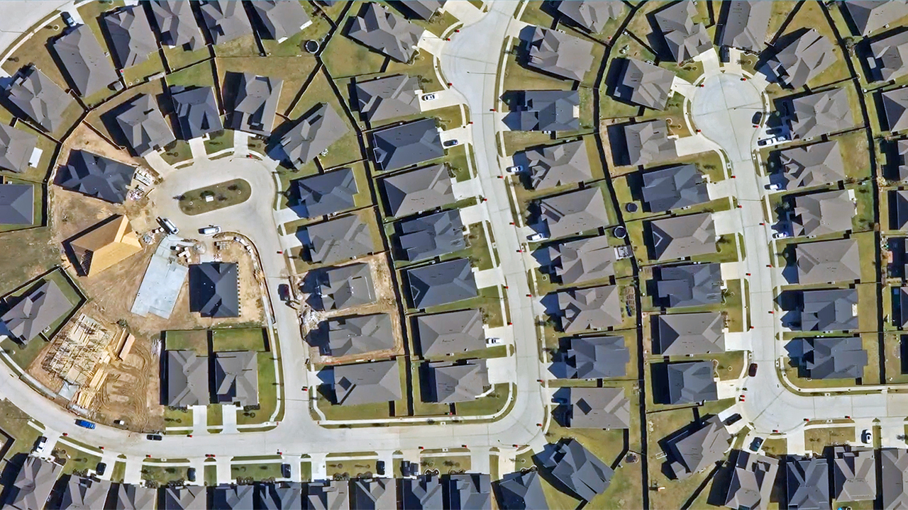
Video Tutorial – Elements AI Property Attributes
Understand how to view and analyze property and roof features, building and roof information, and defensible space.
Video Tutorial – Navigating the Vexcel Viewer after a Gray Sky Event
With the features reviewed in this video, you’ll be prepared to find and analyze post-Gray Sky imagery collected and published by Vexcel.
Video Tutorial – Post-Catastrophe Damage Assessment
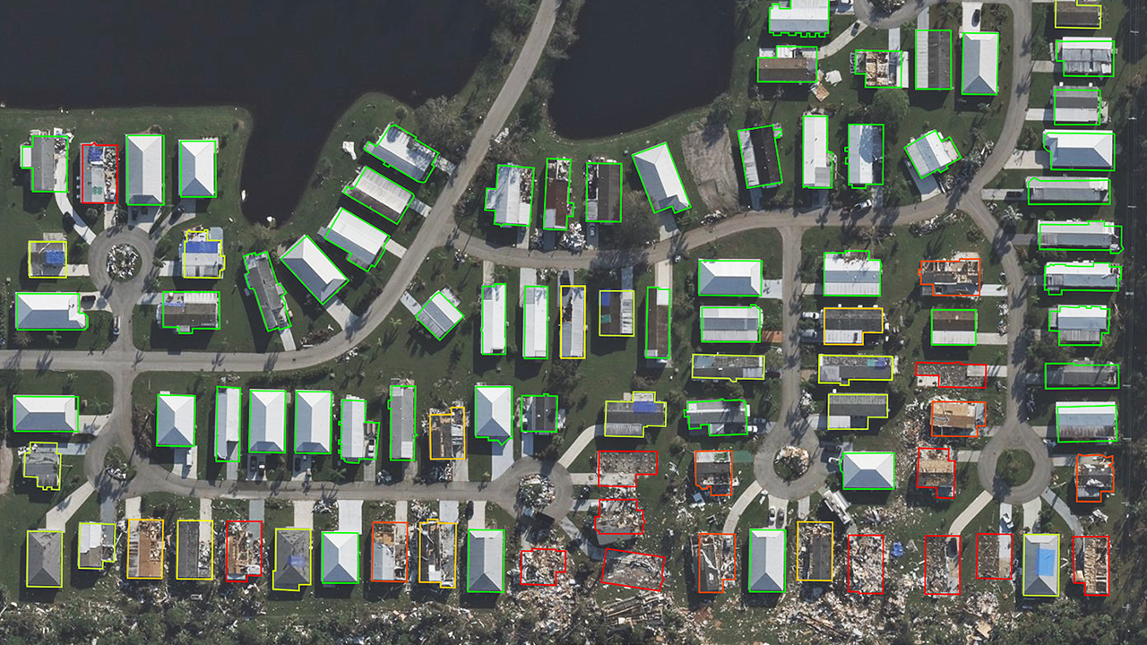
Damage Assessments in the Vexcel Viewer provide an estimate of post-Gray Sky event damage to specific properties.
Video Tutorial – Post-Catastrophe Damage Footprints
After a Gray Sky event, the Vexcel Viewer Damage Footprints help you determine severity of damage in specific areas.
Video Tutorial – How to Use the Before/After Slider
With the Before/After slider, users can compare ortho imagery from different dates at the same location layered directly on top of each other.
Video Tutorial – Features of the Dual View Tool
The Dual View tool allows users to look at the same location side-by-side with different collections and/or angles.
Video Tutorial – Navigating Tools in the Vexcel Viewer
This video walks through the tools available in the Vexcel Viewer, including the timeline, compass, and overlays.
Video Tutorial – 2D Drawing and Measuring Tools
Learn how to use the tools in the Vexcel Viewer to get elevation points, measure distance, area, and circumference, and edit shapes.
Video Tutorial – Using the Vexcel Viewer
Everything you need to get started with the Vexcel Viewer, from activating your account to navigating the numerous tools available.
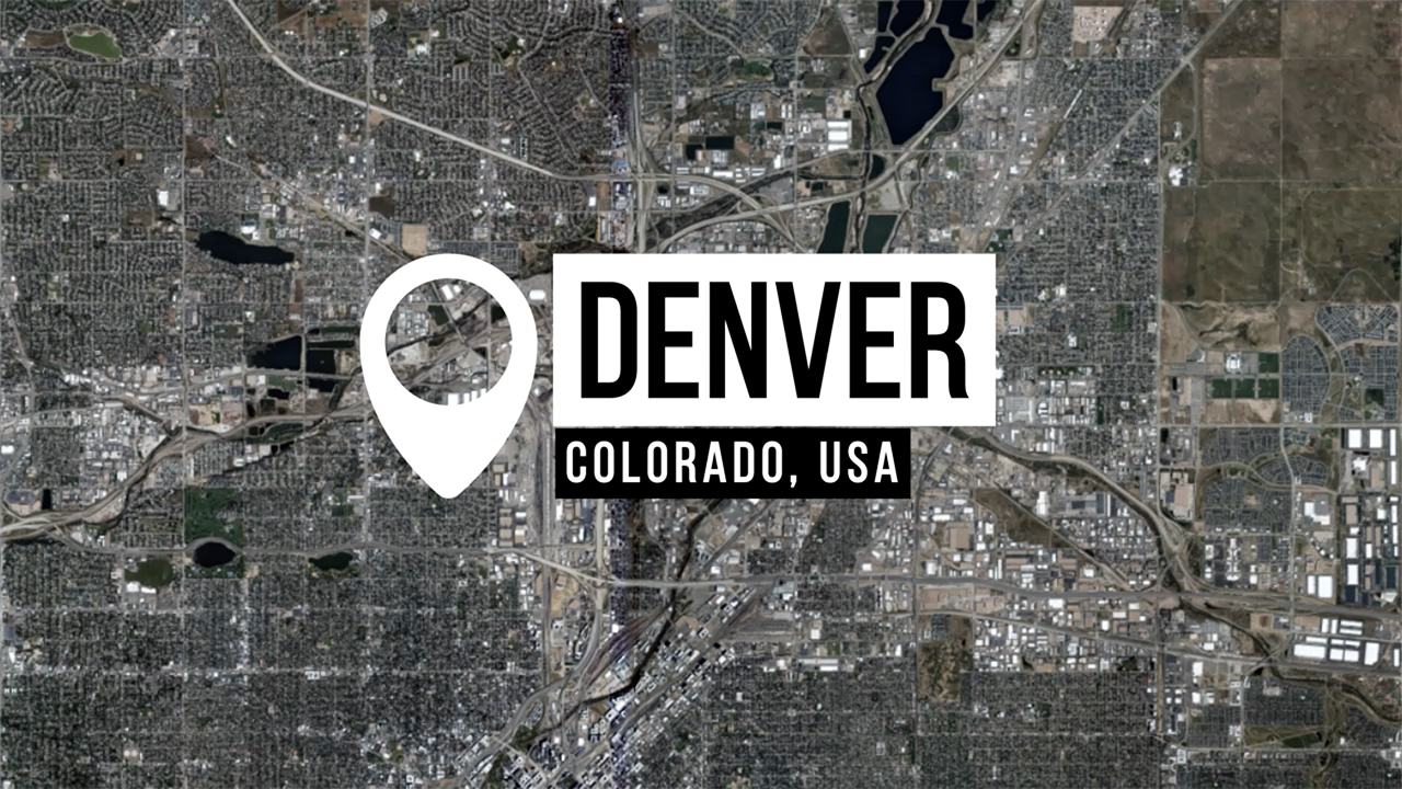
Denver 3D Video Fly-Through
Vexcel’s high-resolution aerial imagery and geospatial data power 3D Cities, providing realistic, detailed, and immersive 3D cityscapes of major metro areas like Denver for seamless integration into your workflows.
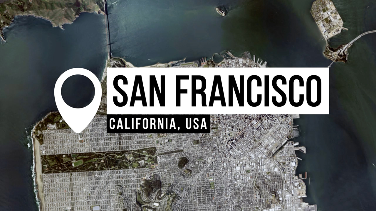
San Francisco 3D Video Fly-Through
Vexcel’s 3D San Francisco fly-through allows users to experience the Golden Gate Bridge and other iconic locations in incredible detail!
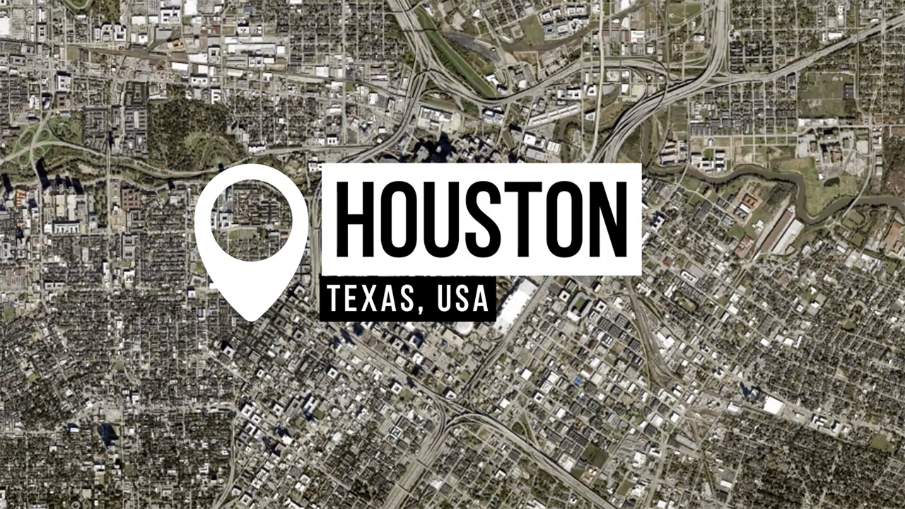
Houston 3D Video Fly-Through
We’re guessing you’ve never seen Houston like this, so we want to highlight how our detailed 3D textured mesh offers an immersive view of areas like this sprawling Texas city.
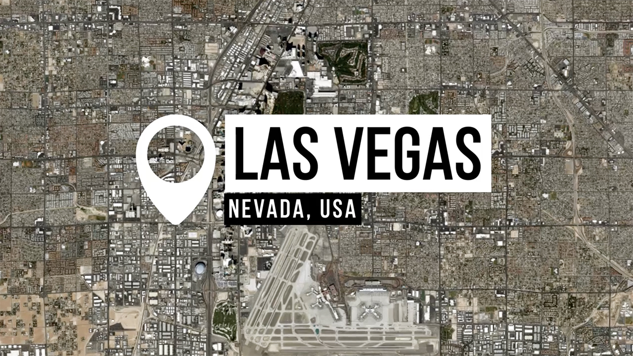
Las Vegas 3D Video Fly-Through
No need to hop on a plane to visit Sin City; Vexcel has you covered with a 3D fly-through. Enjoy this detailed journey over the bustling center of Vegas!
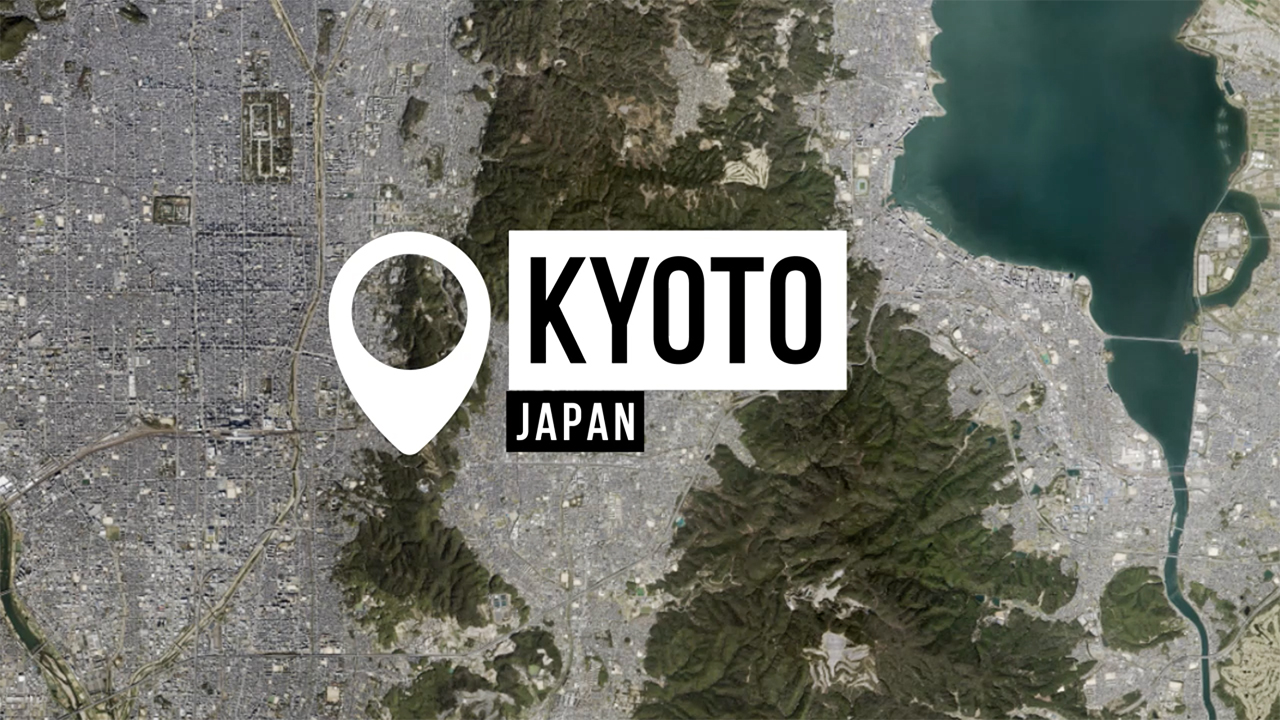
Kyoto 3D Video Fly-Through
In this 3D fly-through of Kyoto, Japan, we cross over villages, bridges, and cityscapes to showcase just some of the detailed accuracy of Vexcel’s 3D models.
2024 Year in Review Video
We’re closing out 2024 by looking back over the past year and celebrating our many achievements, from collection to product launches to services. And also excitedly looking ahead to what’s to come in 2025!
Thanks to our employees, customers, and partners for making 2024 a memorable one. Enjoy your New Year’s celebrations!
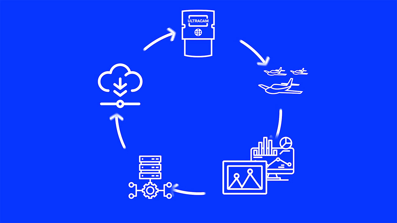
A Complete End-to-End Imagery Solution
Together, this end-to-end solution gives you unparalleled access to imagery at stunningly rich quality and accuracy. All at your fingertips.
Building the Future of Communication Networks
Communication is getting even faster with 5G network rollout around the globe. Reliable geospatial data is helping drive the transformation.
Smart Cities
Reliable, consistent, and accurate geospatial data is necessary to understand what’s happening today – and to build for the future.
Property Assessment
When it comes to property assessment and annual valuation, you need accurate imagery you can trust. Get your job done faster with aerial imagery from the Vexcel Data Program.
Update Your ArcGIS Maps with Clear, Consistent & Accurate Imagery
Upgrade your maps in ArcGIS with clear, consistent and accurate imagery.
Multiple Insights at Every Location
True Ortho, Oblique, Color Infrared, or Elevate – leverage the imagery and data you need to more quickly do your job, no matter the location.
Engage High-res Disaster Imagery for Smarter Government Preparedness
A webinar on how to engage high-res disaster imagery for smarter government preparedness.
High-Res Aerial Imagery & Geospatial Data in Australia
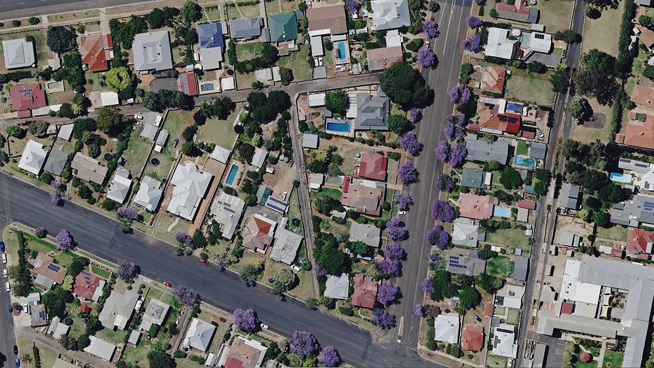
Whether you’re looking for new, fresh, hi-res, or simply more imagery, get what you need through the Vexcel Data Program.

