Why Frequent Coverage Matters in Urban Areas
Vexcel captures up to three imagery collections a year in U.S. metro areas to support your project needs
Urban development is increasing at a significant rate in the U.S. and is actually projected to increase from 5.2% to 9.2% of the total land base in the next 25 years. What’s driving this uptick in urbanization? The biggest factors seem to center around two main areas: population and economy. The population booms because there are more opportunities in urban areas than there are in more rural locations. Cities become more packed, suburban areas get more crowded, and the need to understand how to create and design better supportive infrastructure like roadways, telecom networks, and housing come into play. And high-resolution aerial imagery is a critical component in planning for future needs.
Change is Constant – Can You See it?
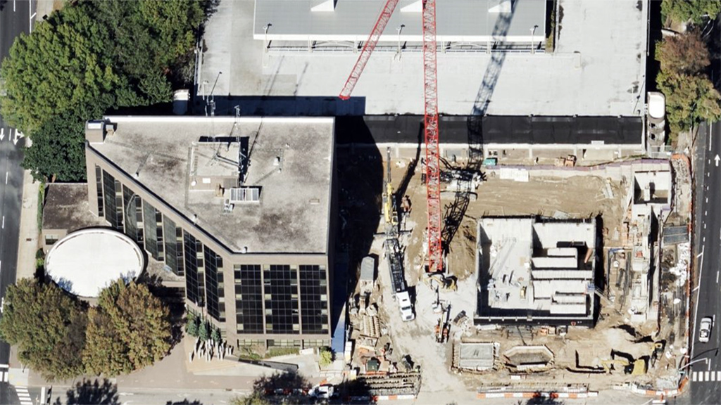
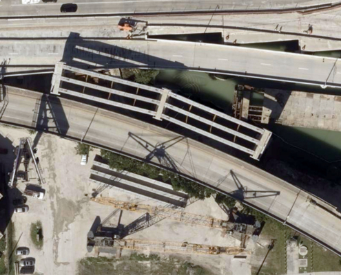
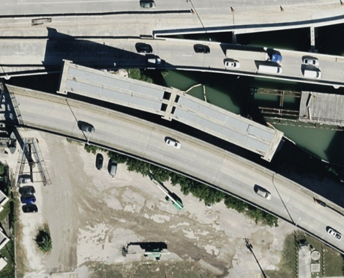
Cities are dynamic with ongoing construction, road updates, and new developments occurring regularly; shouldn’t your imagery reflect that? Vexcel collects 7.5-15cm resolution imagery in major metro areas up to three times per year, helping urban planners and others get a better understanding of what change is happening on the ground. Take the example below that shows an addition project for an interchange in Miami, FL. Over the course of a year, civil engineers and transportation officials can monitor the progress of the new section being built, including Orthos and an Oblique view. This information not only assists in monitoring the project but also be an ideal way to communicate progress back to stakeholders.
Keeping Tabs on Growth
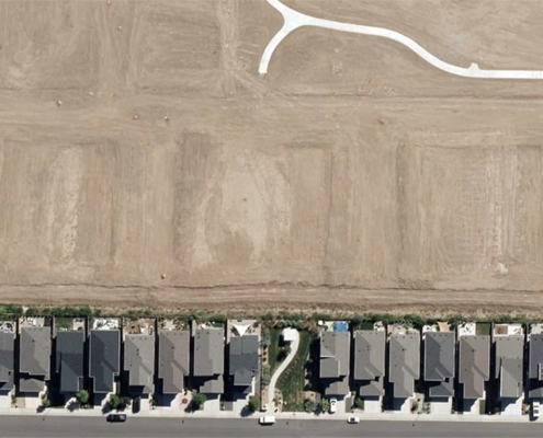
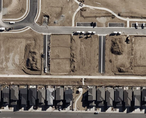
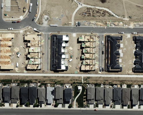
As mentioned, population booms are happening all over, specifically in U.S. metro areas. The U.S. census reported just recently that the population in nearly 90% of U.S. metro areas grew from 2023 to 2024. As more people move in, more housing is needed, whether that’s in the city or surrounding suburbs. These fast-evolving urban and suburban environments need high-res visualization so you can keep track of how housing developments are progressing, how construction is impacting local areas, and gauge the need for further infrastructure support.
With Vexcel’s high-resolution Ortho imagery, city planners can map out the community they want and desire with greater ease. They can follow along as developments take shape, communicate to stakeholders with Vexcel’s timestamped imagery a project’s progress to remove uncertainty or garner support. Multiple views can also help a planner’s requests for additional resources as they tell a development’s story in detail. What’s happening with the new park by the neighborhood? Is the road being built wide enough for the amount of traffic now coming through this redeveloped area? Are there any encroachment issues or environmental concerns being noticed as development continues? Imagery helps tell the story.
Frequency Matters; Give Yourself an Edge
As you review the benefits of aerial imagery for your projects, don’t underestimate frequency in collection as one of the components. Access to current and frequently refreshed imagery like Vexcel’s can help you maximize the insights you seek to gain for your projects. It can support better change detection, help you discover environmental concerns, enhance your asset monitoring, aid in public safety plans, and keep your projects on track as you stay aware with valued imagery.
There are countless ways in which imagery collected on a frequent basis will help you; let us show you how. Fill out the form below to connect with our team for a short demo to see multiple views in your area.

