Transforming Property Assessment with AI + High-res Aerial Imagery
If you ask tax assessors what they need possibly more than anything in their jobs, it’s a way to do their jobs more efficiently and effectively. Especially in areas where rapid urban and suburban growth has occurred. The demand and strain on resources for reviewing and assessing property values annually only continues to increase.
This is where the happy harmony of AI and aerial imagery comes into play. The application of AI and aerial imagery in property assessment offers significant advantages that enhance the efficiency and effectiveness of tax assessors. One of the most notable benefits is the ability to deliver detailed information on properties within seconds. This rapid processing capability enables assessors to remotely evaluate properties without the need for time-consuming site visits, streamlining the assessment process significantly.
The Basics of Elements – AI-Driven Property Insights
How is this done? Vexcel’s Elements product line delivers over 40 automated property and building attributes designed to help assessors make sense of what exists—and what has changed—on a property. Tax assessors can access comprehensive property profiles that include not only structural building details like roof condition and material, footprint, ground elevation, but more importantly, help identify taxable property features like swimming pools, sport courts, trampolines, and other attributes. This immediate access to valuable data equips assessors to make informed decisions swiftly, ensuring that tax rolls are current and reflect accurate property valuations.
Being able to find discoverable attributes in seconds that are taxable and influence a property’s value can greatly improve how an assessor can balance their time and resources when it comes to property reviews and assessments.
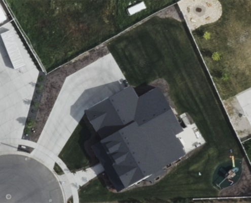
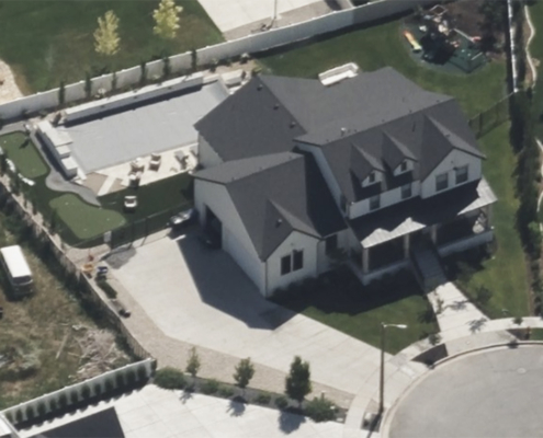
Here’s an example of a home where it was quickly identified that a swimming pool had been added from the previous year, changing the property value of the home.
Getting Valuable Information on a Property
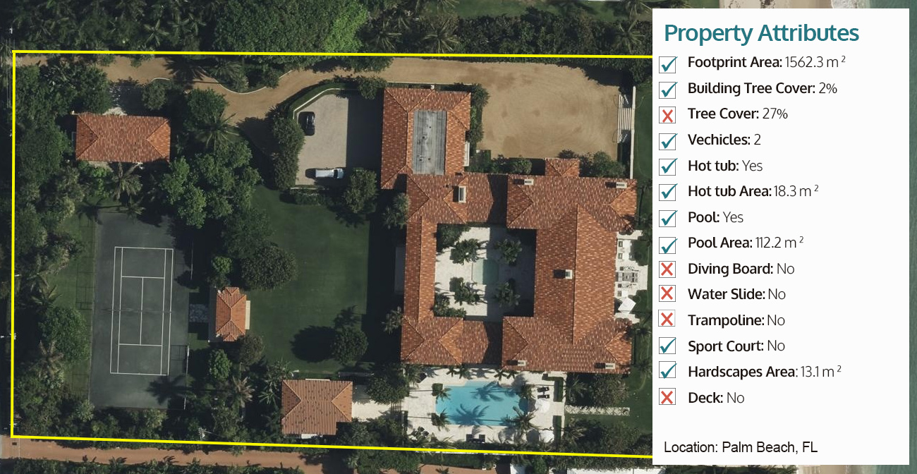
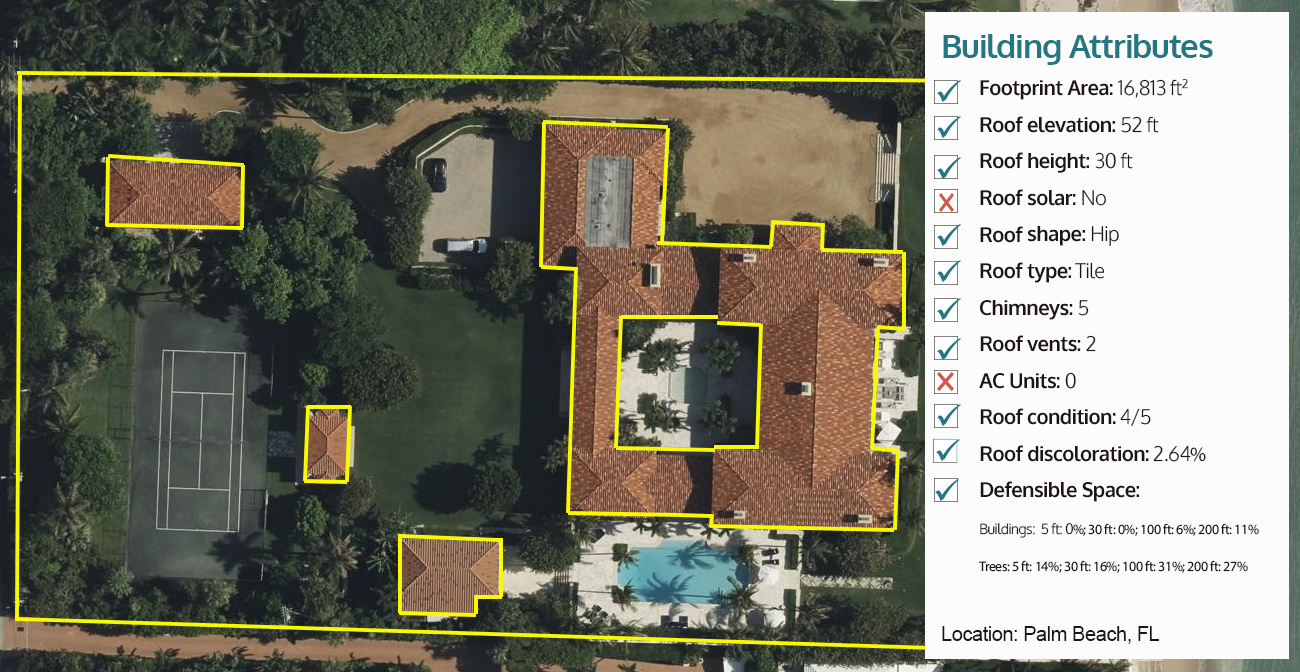
What does a full property report look like on a home? What information can you pull to determine value and identify change detection? The report on the property below includes multiple pieces of information, including all identified Property Attributes and then the subsequent Building Attributes.
Data to Back Up Your Evaluations
This type of data is not just available for urban and suburban areas, however; assessors across the U.S. can access data for their counties. Plus, Vexcel imagery is timestamped which means this data can enhance compliance with zoning regulations or provide backup for contested property valuations, helping foster transparency, accountability, and improved communication with property owners.
Vexcel also flies continuously across the Lower 48 states, collecting data in urban (up to three collections a year in urban areas) and rural locations as we support multiple industries, like insurance, who rely on refreshed imagery. And our imagery is optimized for AI making it ideal for identifying change detection at scale, a critical need for tax assessors to enhance their workflows.
Get Started Using Elements Today
You can start using Elements data right from your desktop immediately which means there’s no time like now to begin putting more time back on your side when it comes to property assessment. And Vexcel’s Elements product line can help streamline your annual reviews in more ways than one. Fill out the form below to speak with one of our experts on how you can see the property insights in your area now.


