AI on Aerial Imagery
Elements AI
Using AI and machine learning, Vexcel extracts key features and attributes on buildings, properties, and roads from its own high-resolution aerial imagery.
Using AI and machine learning, Vexcel extracts key features and attributes on buildings, properties, and roads from its own high-resolution aerial imagery.
Every dataset in the Elements AI product suite is extracted from Vexcel’s high-resolution aerial imagery, collected across more than 40 countries and territories.. As new imagery is published daily, fresh vector data follows. Built on highly accurate pixels. Delivered as powerful insights.
Roadway attributes extracted to support inventory, compliance, and maintenance across 3,300+ U.S. cities. Includes curb mats, pedestrian islands, roundabouts, arrows, bike lanes, crosswalks, and road text.
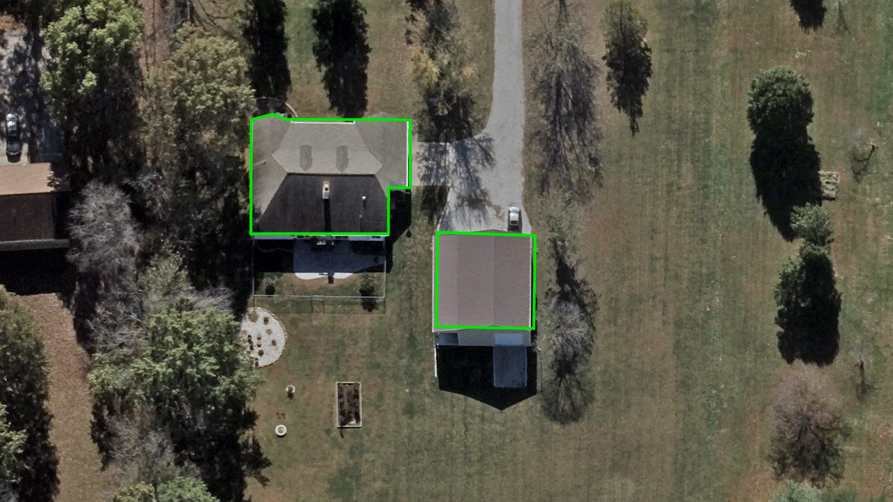
Using AI along with building footprints and property boundaries, Vexcel extracts attributes on residential and commercial properties.
See roof details like condition and shape, plus features such as skylights and solar panels. Within the parcel, identify swimming pools, trampolines, sport courts, details on wildfire defensible space zones, and more.
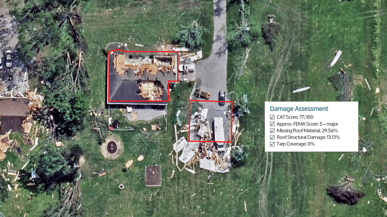
Vexcel’s Gray Sky imagery is analyzed to detect property damage after wildfires, hurricanes, and tornadoes.
Includes color-coded damage footprints and property-level damage scores across the post-disaster collection to quickly assess impact.

