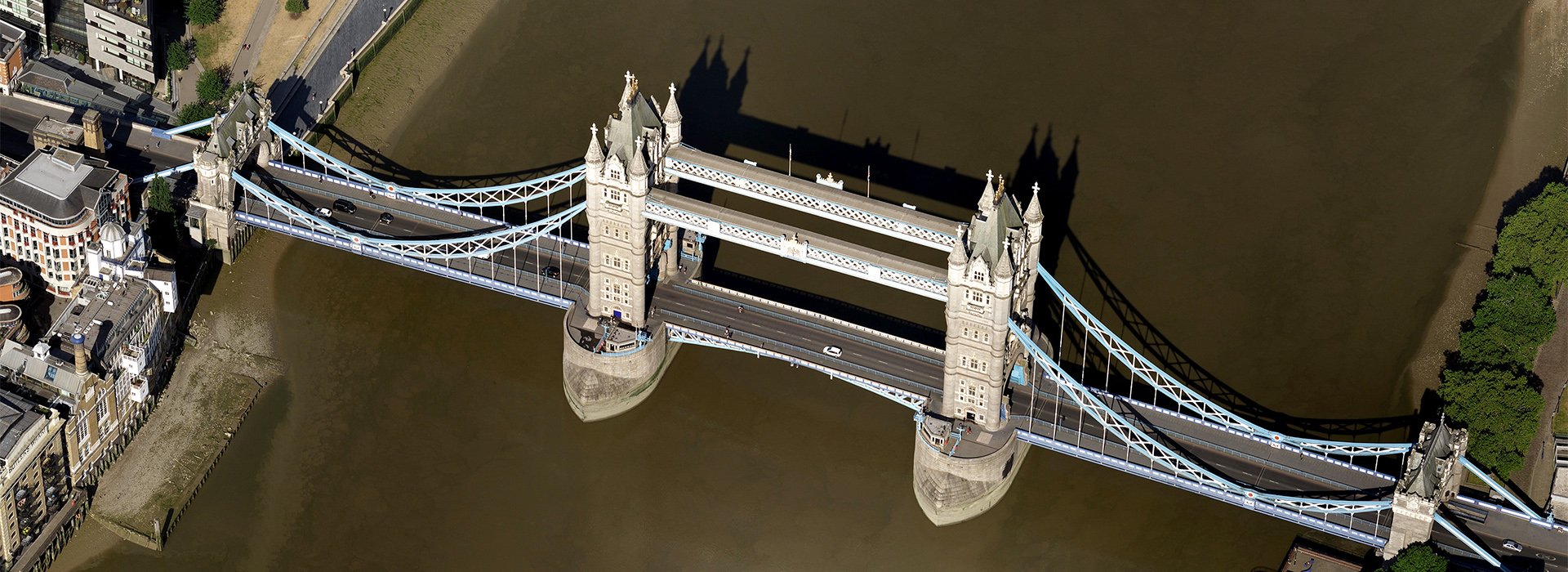
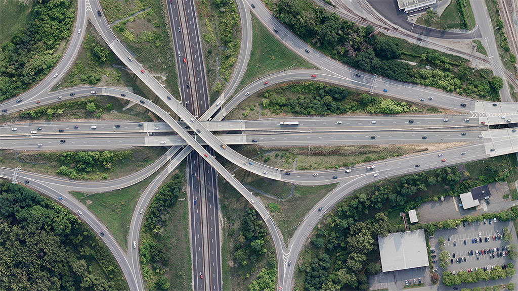
Powerful Imagery to Better Understand Your World
Vexcel Data Program provides industries around the world the highest caliber of aerial imagery and geospatial data available. Using its marketing-leading UltraCam sensors and a dedicated fleet of aircraft, Vexcel is the only professional aerial imagery program to capture both urban and rural areas at an unprecedented scale. Together, its urban and wide area capture programs cover more than 20 countries, including Australia, United States, Japan, United Kingdom, and Western Europe.
End-To-End Technology
Innovation and versatility come naturally when you have a complete end-to-end technology solution like Vexcel’s. From the market-leading camera systems to imagery capture, cloud-based tools to APIs, customers get access to real location intelligence with consistent, accurate data at an enterprise level.
From oblique to true orthos and digital surface models to color-infrared imagery, Vexcel provides the largest, most comprehensive aerial library. Find high-resolution imagery that matches your needs, workflows, and budget. Our cost-effective solutions give customers more choices compared to traditional aerial imagery services.
Complete the form below to receive additional information and request a demo.


