Gray Sky: Mountain Fire, CA
High-Resolution Imagery of Mountain Fire Now Available
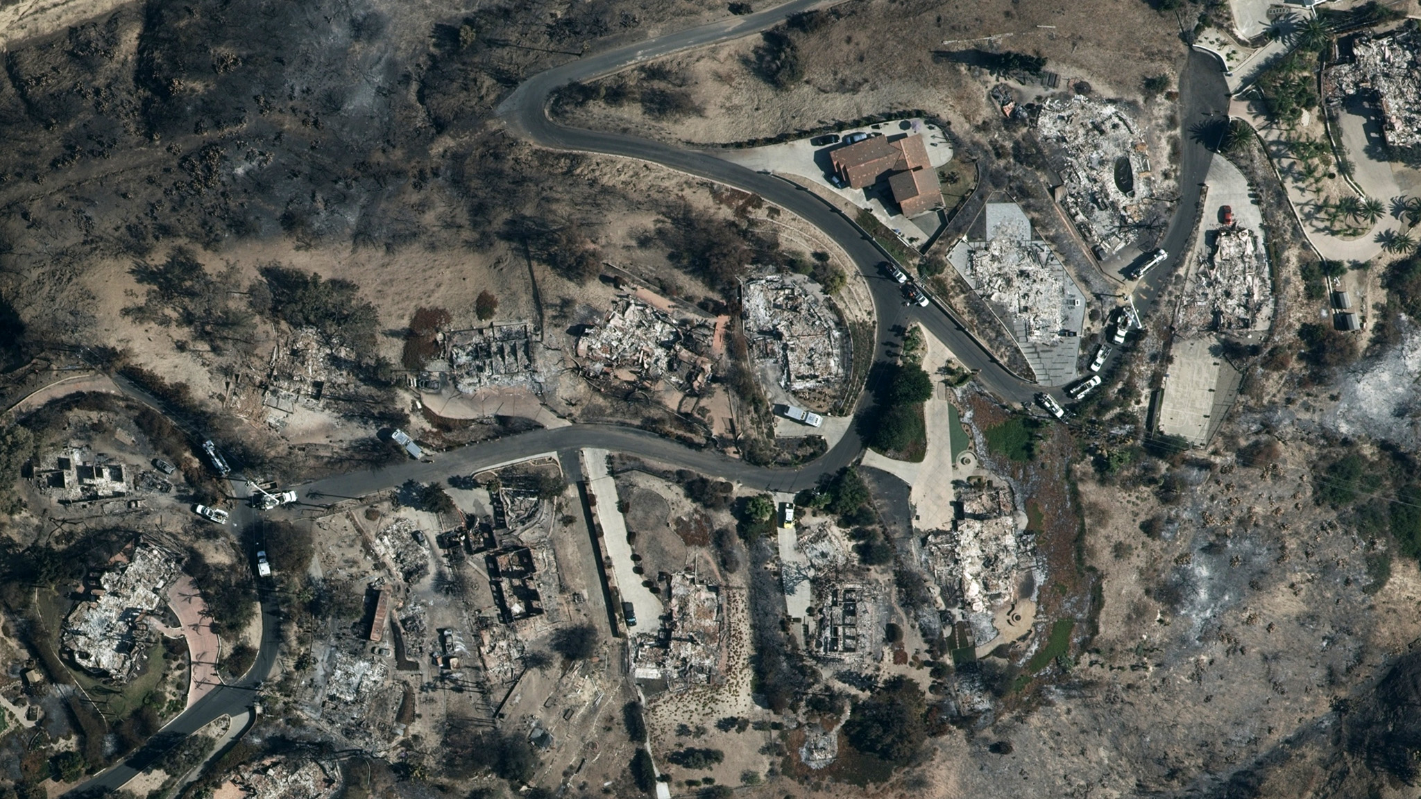
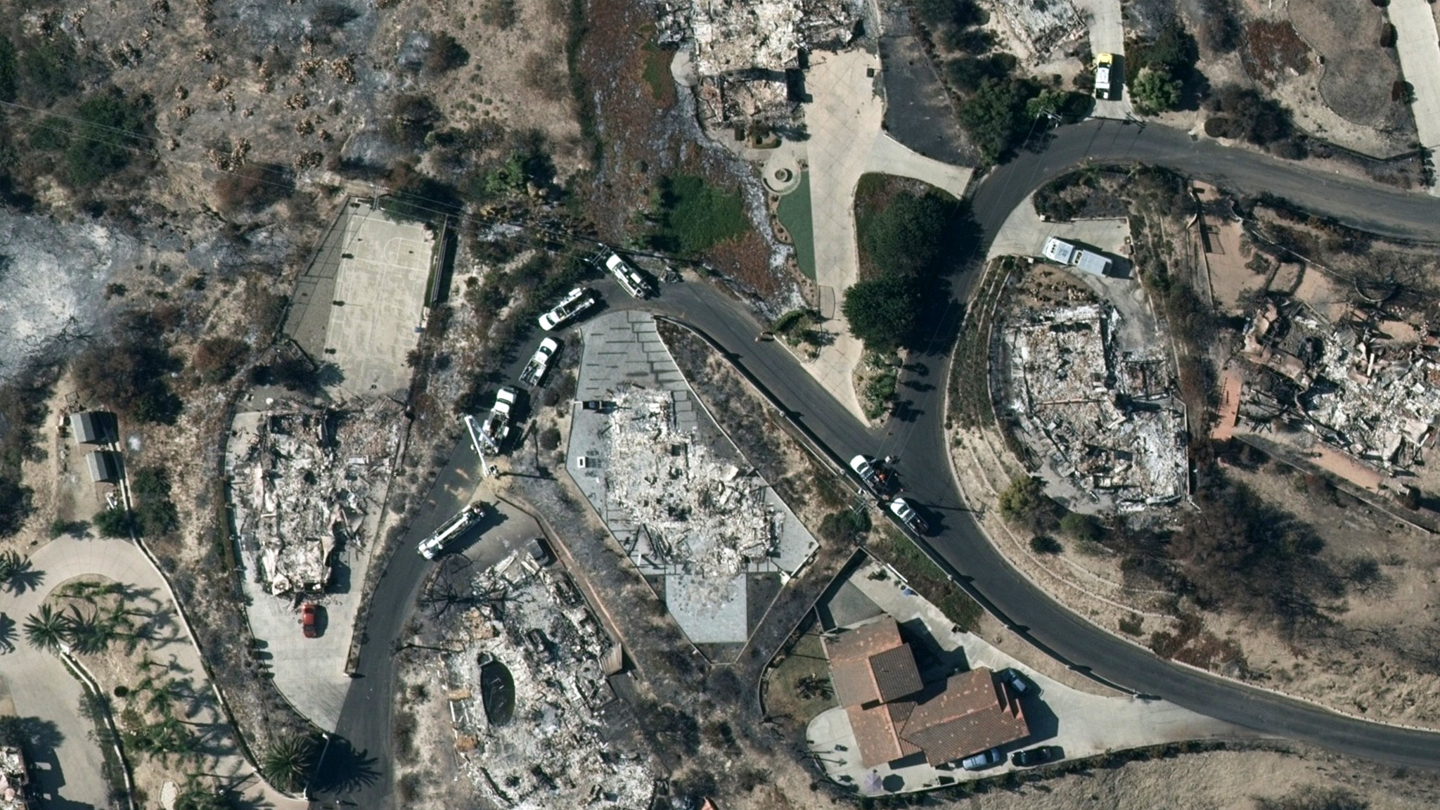
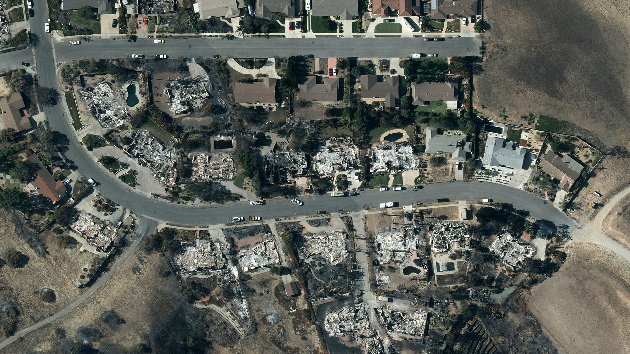
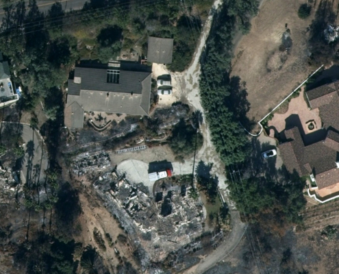
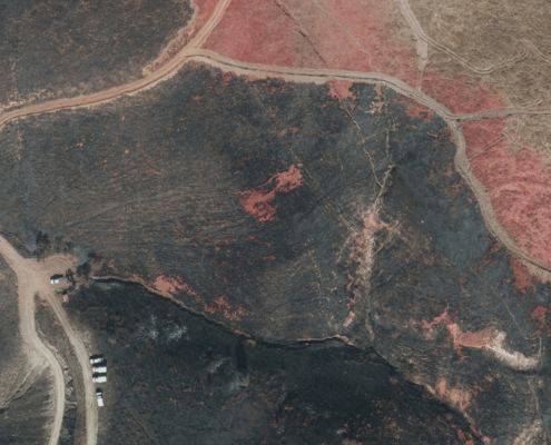
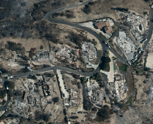
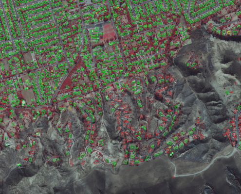
Our flight crew has successfully captured approximately 440 square kilometers of high-resolution aerial imagery of the Mountain Fire in Ventura County, California, on Sunday, November 10. This ortho and multispectral imagery is focused on damaged properties and published at 10cm resolution.
Imagery is now accessible on the Vexcel Platform and select partner sites for our insurance, government, and commercial partners. Below are a few images from the collection area.
Overview
The Mountain Fire, which began on November 6, 2024, near Somis, has now burned more than 20,000 acres. As of Sunday afternoon, containment stood at 26%. The cause of the fire remains under investigation, according to CalFire.
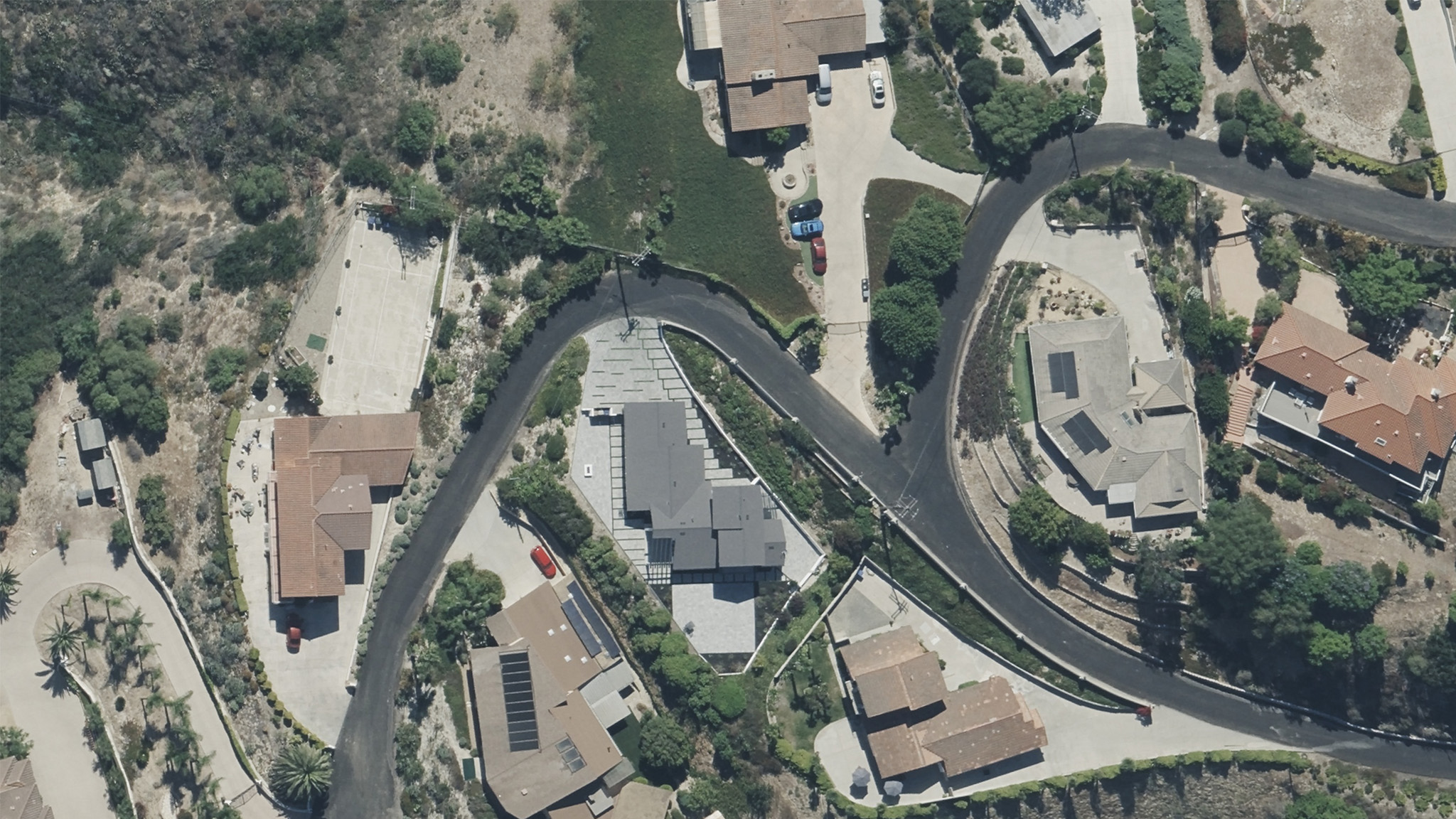
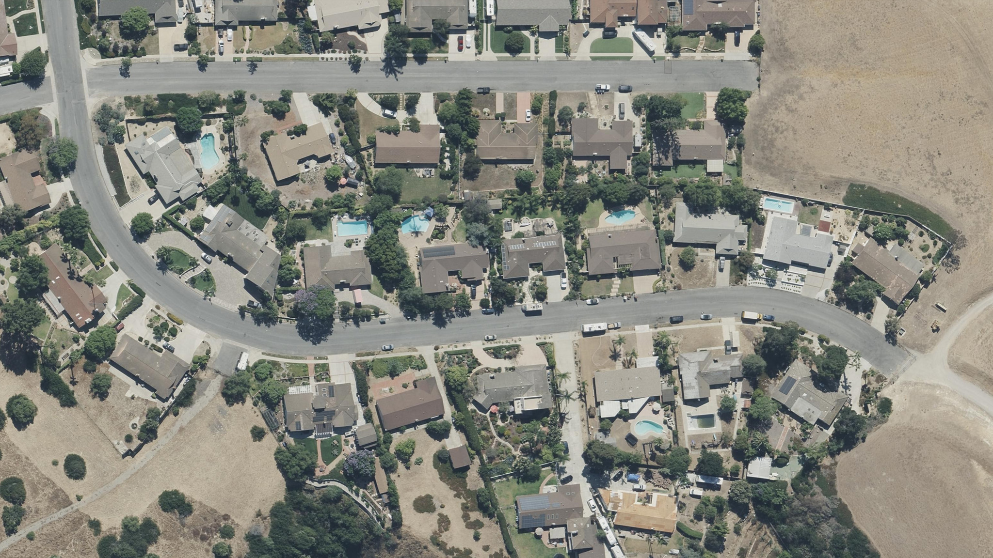
Before & After Images
Vexcel also has before images collected twice earlier this year in Ventura County as well as many collections from previous years. These side-by-side views reveal the extent of property damage and burn zones, offering essential insights for response teams and supporting precise recovery planning and claims processing for affected communities.

