
This post originally appeared on GIC.org.
Together, Vexcel and GIC have fully aligned their strengths to streamline efforts and enhance innovation, while continuing to provide the high-quality aerial imagery and coverage that insurers trust.

This post originally appeared on GIC.org.
Together, Vexcel and GIC have fully aligned their strengths to streamline efforts and enhance innovation, while continuing to provide the high-quality aerial imagery and coverage that insurers trust.

Multiple tornadoes touched down in Oklahoma this past week with one of the hardest areas being Shawnee. Homes and businesses were heavily damaged, including an assisted living center, the Shawnee Mall, and Oklahoma Baptist University. Local residents have spent the last couple of days trying to sift through the wreckage while emergency responders worked to help those in greatest need.
Our Gray Sky team was activated and cleared to collect aerial imagery early Friday over the impacted community. High-resolution ortho and oblique imagery at 7.5cm is now available in the GIC Platform, including GIC Viewer and Image Services for ArcGIS. GIC members were notified of the collection as well as emergency managers who may be in need of the imagery. Below is a small glimpse into the collected imagery from this event.


The GIC also has before images of the properties struck by the tornadoes. These help with before and after comparisons, showcasing the level of damage suffered by residents in these communities. In addition, Damage Assessment will be available to help GIC members remotely review property damage so they can triage and proactively begin the claims process to help those in greatest need.
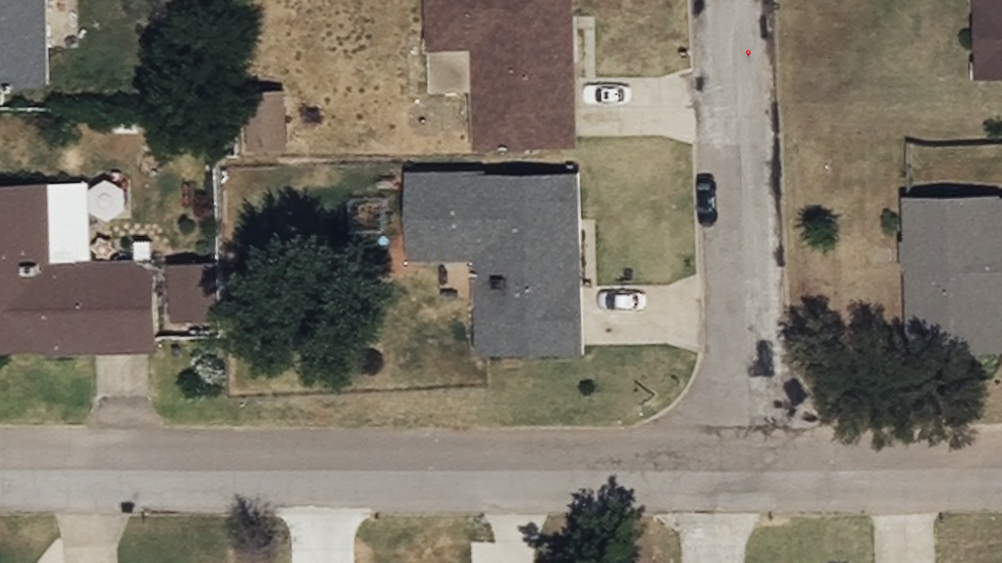

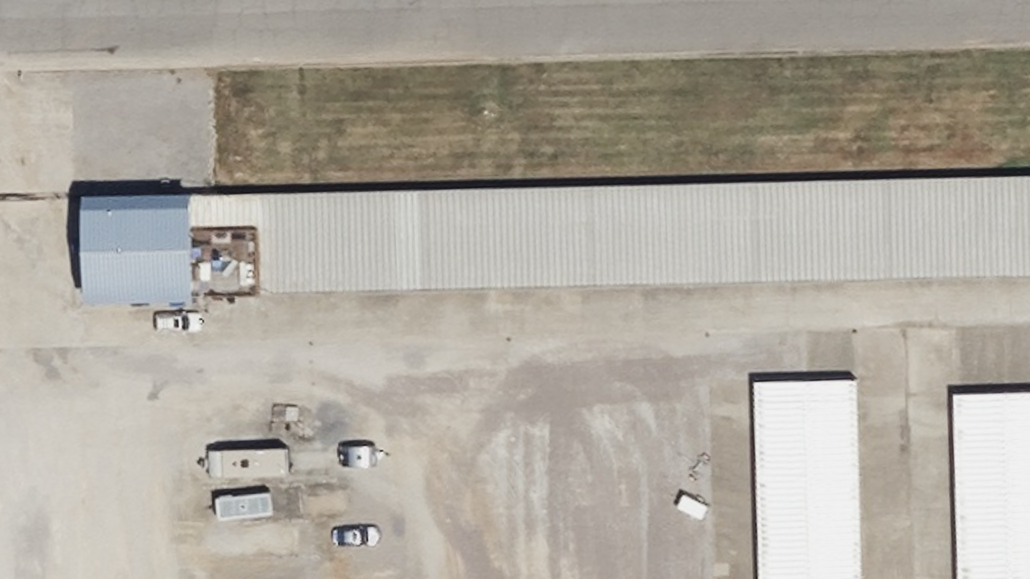
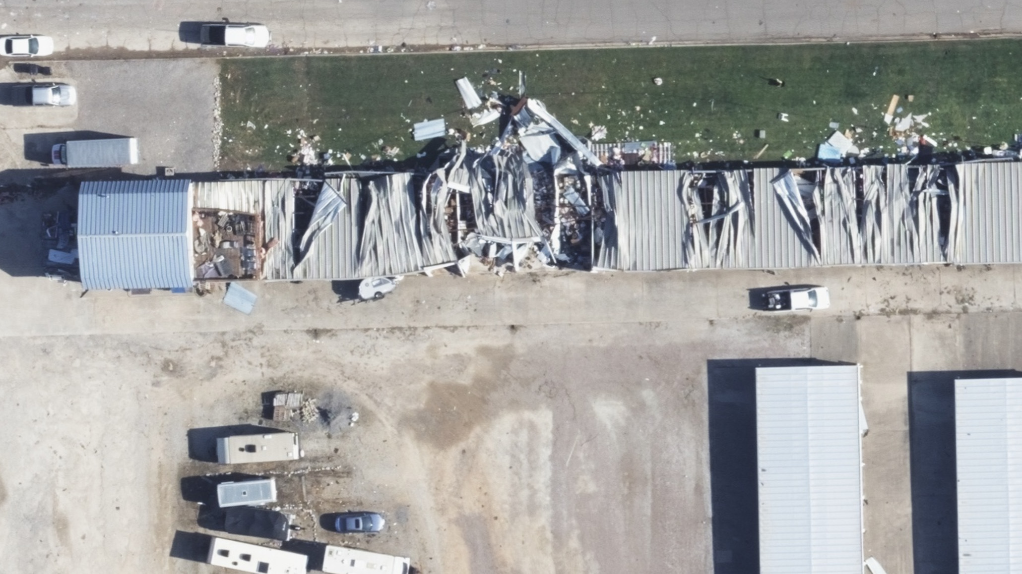
This Gray Sky collection includes multiple looks of every property, from top down to all four cardinal views.

This Gray Sky collection includes multiple looks of every property, from top down to all four cardinal views.

This Gray Sky collection includes multiple looks of every property, from top down to all four cardinal views.

This Gray Sky collection includes multiple looks of every property, from top down to all four cardinal views.

This Gray Sky collection includes multiple looks of every property, from top down to all four cardinal views.

We’ve analyzed every property in our aerial collection of the Shawnee tornado. Both Damage Assessments and Damage Reports are now available to GIC members to understand the impact of this storm property-by-property.

Request Access
Please let us know if you need imagery for your response and recovery. You can learn more about how the GIC captures Gray Sky events here. No one captures more disasters than the GIC. To request access to imagery from the tornado damage in in Shawnee, OK, please fill out our contact form below.

![]()
Large-format UltraCam cameras & sensors.
vexcel-imaging.com
Aerial surveys by fixed-wing aircraft.
kasurveys.com
Aerial imagery and data for government and business.
vexceldata.com

 New Property & Building Attributes Available