
“Turning Aerial Imagery into a Searchable World”: Steve Lombardi on the MapScaping Podcast
The MapScaping Podcast host Daniel O’Donohue interviewed Vexcel Data Program Vice President of Products Steve Lombardi. The episode, “Turning Aerial Imagery into a Searchable World”, contains a far-ranging conversation about how our aerial imagery is captured and transformed into data you can measure, detect, and now search. Here are a few key insights.
The UltraCam: “It’s Really Our Differentiator”
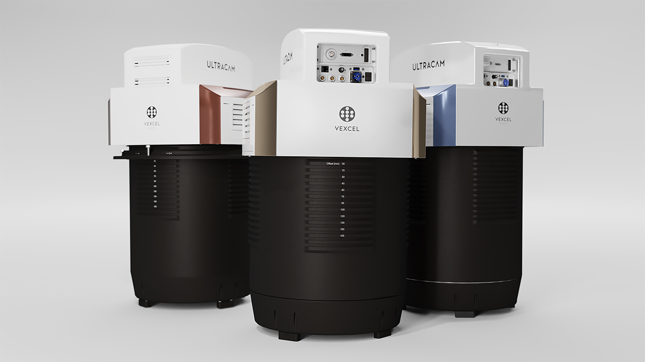
Everything downstream starts with the sensor, which is why Vexcel versions its camera systems like software, improving resolution, imaging, and motion blur with each generation. Steve explains where the technology is headed and why the data can only ever be as good as the camera behind it.
“The Difference Between Object Detection and Embeddings”
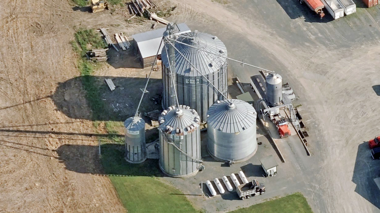
Vexcel’s models recognize about 80 pre-computed elements, property and roadway attributes ready to be queried from a database. New this year, Vexcel’s Custom Elements let you tell Vexcel what you’re looking for and the system detects it on demand, returning results just like a prebuilt element.
Vector Embeddings: “Think of That as a Fingerprint for a Chunk of Earth”
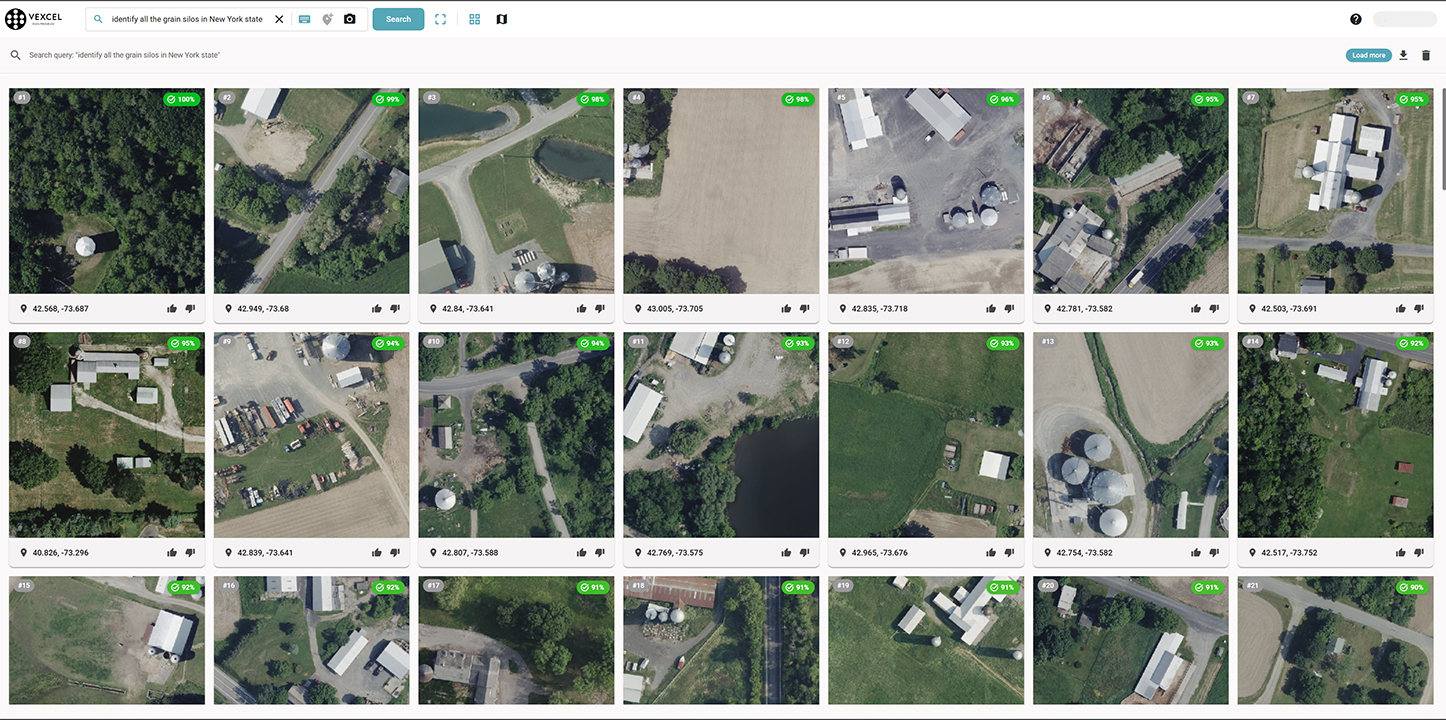
Vector embeddings, as Steve puts it, divides the earth into 100-meter grid cells and give each one a fingerprint built from the top-down and oblique views. Ask for “farms with livestock in New York State,” and the imagery answers.





