Accelerating Property Portfolio Management with High-res Aerial Imagery
Real estate portfolio managers and private equity firms are turning their heads these days at a new resource: detailed aerial imagery. And they are counting on these views of residential and commercial properties to give them new advantages by providing additional levels of insight not available through other means. Satellite imagery? Not detailed enough. Drones? Not very scalable. But aerial imagery hits the sweet spot, especially an imagery program like Vexcel’s that has comprehensive coverage across the U.S. with highly detailed views and scale in urban and rural areas.
One of the biggest reasons imagery is becoming such a needed resource? Explosive growth in areas where the population is rapidly expanding and more information is needed to keep tabs on properties and ongoing change. Another reason is just the sheer scope of portfolios these days that span areas large and small, from urban to rural locations.
So how can you better manage your property portfolio with aerial imagery? Take a look through these top three scenarios to learn more.
Property Assessment & Intelligence
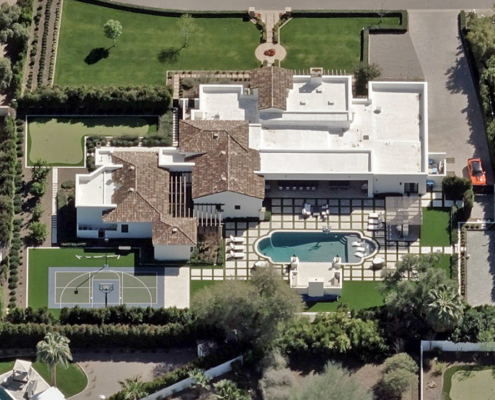
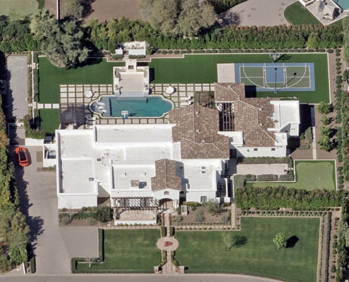
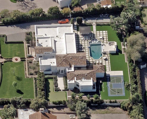
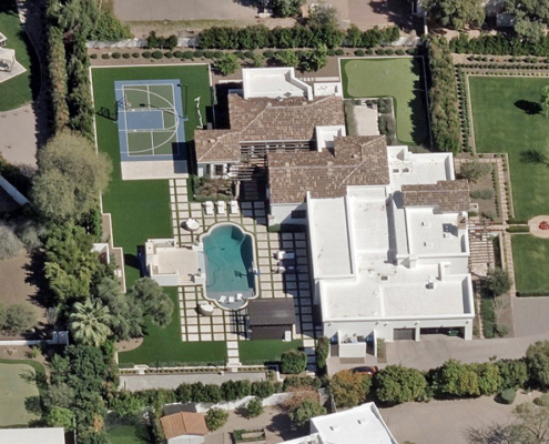
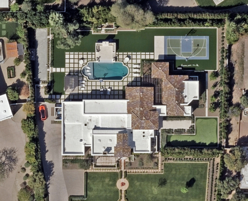
What do you see when reviewing a property with high-resolution aerial imagery? There are many property features and attributes to take into consideration for better portfolio management. What’s the condition of the roof and are there other elements such as vents or AC units that exist on it? What do all four sides of a property look like and is there any degradation or improvement that should be noted? Whether you look through the lens of ortho or oblique views, or make use of AI-derived insights on detailed imagery, you can improve your property intelligence on:
Site Assessment
Developers and real estate professionals are better equipped to assess properties, identify potential issues, and understand the surrounding environment with high-res aerial imagery like Ortho and Oblique imagery where you can virtually tour a structure from all four sides.
Topography & Terrain
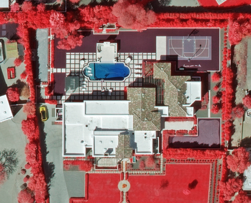
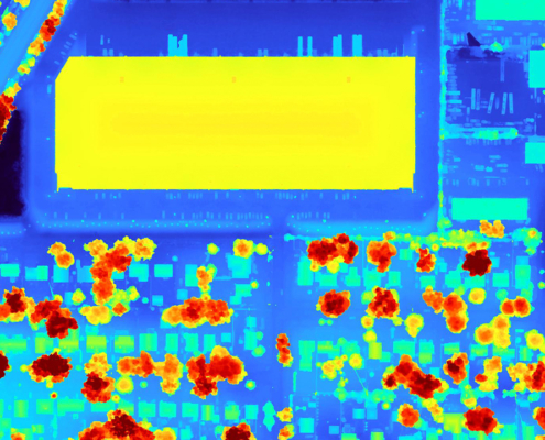
Reveal terrain challenges like potential drainage issues, and the presence of bodies of water, which can impact construction and land usage with DSM and Multispectral imagery.
Roof Condition & Structure
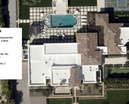
Identify a variety of roof features or discoloration, easily spot solar panels and other roof fixtures using AI-derived insights from Elements.
Environmental Assessment & Risk Management
It’s no surprise that environmental factors play a large part in how valued a portfolio is, whether it’s gaining value or losing it depending what’s happening around a property. In some areas, there are major economic implications where large factories or commercial developments may stress a portfolio or provide needed improvement. High-res imagery, especially imagery that can show change over time, helps reflect the impact of these environmental factors. What does a new high rise do to a city block? How is traffic impacted with suburban expansion?
Detailed aerial imagery offers better management of risk for property portfolios, too. Imagine improving your ability to spot urbanization trends that put stress on infrastructure. Or assessing the environmental sustainability based on land use and development needs. You can monitor the condition of structures and supporting infrastructure like roads, bridges, and utilities to see if any are deteriorating or underdeveloped structures that could significantly impact a property’s accessibility and value.
Likewise, what does it look like to rebuild or restore a community following a major disaster like a hurricane, wildfire, or tornado? Use Vexcel’s Gray Sky imagery to evaluate damage to structures, especially rooftops, to assess the impact these catastrophic events have on a community and what that does to your portfolio.
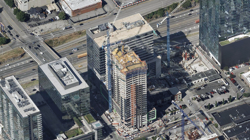
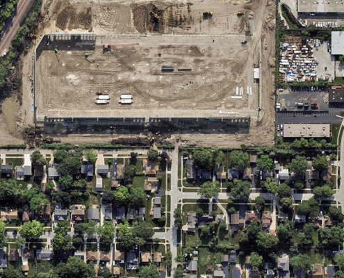
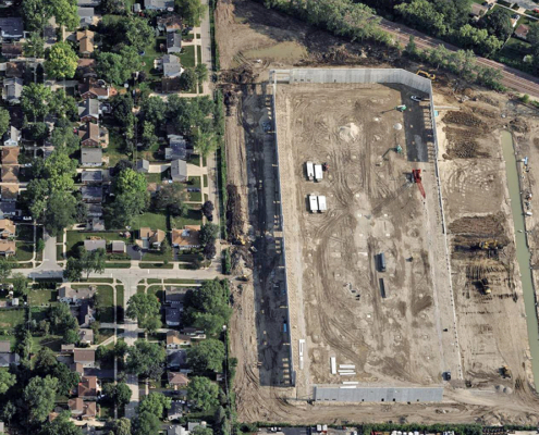
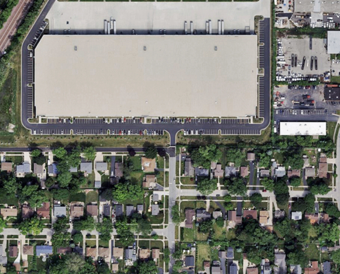
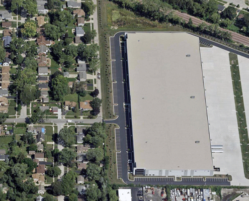
How does a factory or warehouse being built near a residential neighborhood impact the community? Check out the gallery below to see an example.
Property Valuation
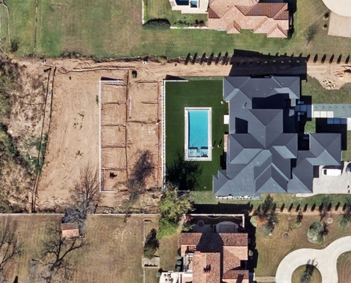
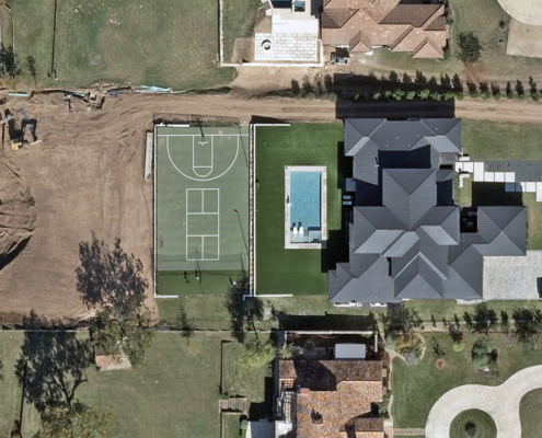
Aerial imagery is a reliable resource for evaluating a property’s value, especially if you have access to timestamped, historical imagery where you can detect changes or improvements. These high-resolution views can be used to validate what exists from multiple angles so you can identify structural modifications, encroachments, or other property data that impacts a property’s value. And because you get a bird’s-eye view, you’ll see things that you might miss from a ground-level assessment.
Add High-Res Imagery to Better Manage Your Property Portfolio
These were just three examples of how to use aerial imagery to your benefit, but there are so many more that support better portfolio management. It all depends on your needs and the information imagery provides to fill in any gaps. What imagery can do is help you better manage your portfolios with confidence and ease, especially if your properties span over large areas.
Vexcel offers high-resolution aerial imagery in 49 states, covering both urban and rural areas with the detail you need to properly evaluate commercial and residential properties. Plus, in major metro areas, Vexcel collects up to three times per year which means you get multiple views for comparison so you can track change more readily.
See coverage in your area via our U.S. collection program and get a demo to understand how Vexcel imagery can help you do more with your real estate portfolios.


