 https://vexceldata.com/wp-content/uploads/2024/09/Sydney-AU-3D-Cities.png
738
1494
vexcel
https://vexceldata.com/wp-content/uploads/2021/12/VEXCEL-Data-Program.png
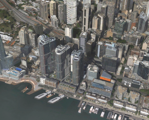
vexcel2024-09-17 11:38:322026-04-14 15:46:58Urban Planning Using Powerful 3D Models
https://vexceldata.com/wp-content/uploads/2024/09/Sydney-AU-3D-Cities.png
738
1494
vexcel
https://vexceldata.com/wp-content/uploads/2021/12/VEXCEL-Data-Program.png
vexcel2024-09-17 11:38:322026-04-14 15:46:58Urban Planning Using Powerful 3D Models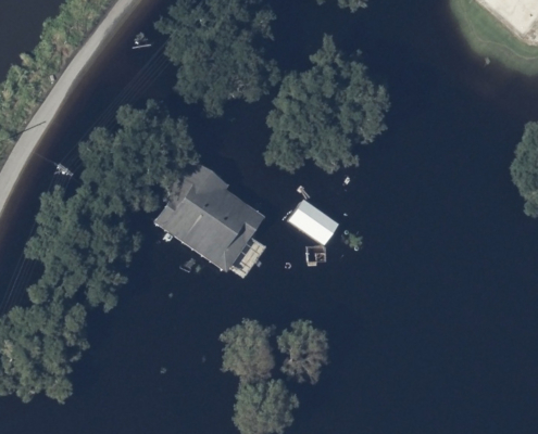 https://vexceldata.com/wp-content/uploads/2024/09/29.573210-90.592246-After-1.jpg
576
1024
vexcel
https://vexceldata.com/wp-content/uploads/2021/12/VEXCEL-Data-Program.png
vexcel2024-09-15 08:20:562024-09-23 09:04:35Gray Sky: the Aftermath of Hurricane Francine
https://vexceldata.com/wp-content/uploads/2024/09/29.573210-90.592246-After-1.jpg
576
1024
vexcel
https://vexceldata.com/wp-content/uploads/2021/12/VEXCEL-Data-Program.png
vexcel2024-09-15 08:20:562024-09-23 09:04:35Gray Sky: the Aftermath of Hurricane Francine https://vexceldata.com/wp-content/uploads/2024/09/Palm_Beach_FL_USA_east_oblique_26.790468_-80.jpg
720
1280
vexcel
https://vexceldata.com/wp-content/uploads/2021/12/VEXCEL-Data-Program.png
vexcel2024-09-10 09:06:152026-04-14 15:37:52Windward Risk Managers Enhances Claims Operations with Vexcel’s Aerial Imagery and Damage Assessments
https://vexceldata.com/wp-content/uploads/2024/09/Palm_Beach_FL_USA_east_oblique_26.790468_-80.jpg
720
1280
vexcel
https://vexceldata.com/wp-content/uploads/2021/12/VEXCEL-Data-Program.png
vexcel2024-09-10 09:06:152026-04-14 15:37:52Windward Risk Managers Enhances Claims Operations with Vexcel’s Aerial Imagery and Damage Assessments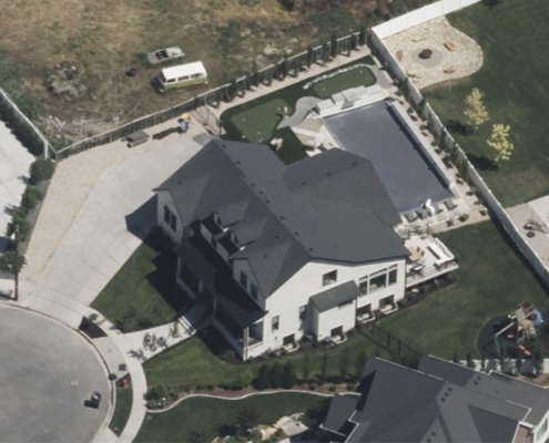 https://vexceldata.com/wp-content/uploads/2024/08/41.026044-111.957907-Oblique-Kaysville.jpg
576
1024
vexcel
https://vexceldata.com/wp-content/uploads/2021/12/VEXCEL-Data-Program.png
vexcel2024-08-27 13:19:102026-04-14 15:42:42Transforming Property Assessment with AI + High-res Aerial Imagery
https://vexceldata.com/wp-content/uploads/2024/08/41.026044-111.957907-Oblique-Kaysville.jpg
576
1024
vexcel
https://vexceldata.com/wp-content/uploads/2021/12/VEXCEL-Data-Program.png
vexcel2024-08-27 13:19:102026-04-14 15:42:42Transforming Property Assessment with AI + High-res Aerial Imagery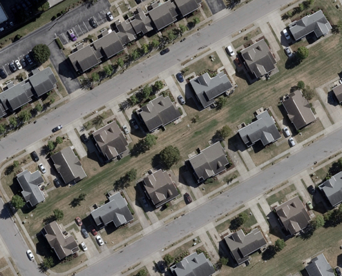 https://vexceldata.com/wp-content/uploads/2024/08/vexcel-tennessee-ortho-urban.jpg
576
1024
Dan Ackermann
https://vexceldata.com/wp-content/uploads/2021/12/VEXCEL-Data-Program.png
Dan Ackermann2024-08-13 14:52:572024-08-13 14:52:57Enhancing Public Safety with Advanced Aerial Mapping
https://vexceldata.com/wp-content/uploads/2024/08/vexcel-tennessee-ortho-urban.jpg
576
1024
Dan Ackermann
https://vexceldata.com/wp-content/uploads/2021/12/VEXCEL-Data-Program.png
Dan Ackermann2024-08-13 14:52:572024-08-13 14:52:57Enhancing Public Safety with Advanced Aerial Mapping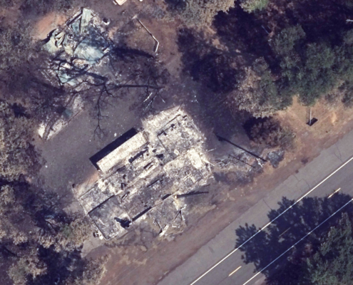 https://vexceldata.com/wp-content/uploads/2024/08/park-fire_40.331659_-121.928192.jpg
1152
2048
kris.wagner
https://vexceldata.com/wp-content/uploads/2021/12/VEXCEL-Data-Program.png
kris.wagner2024-08-09 08:44:062024-09-24 10:14:01Gray Sky Event: Park Fire
https://vexceldata.com/wp-content/uploads/2024/08/park-fire_40.331659_-121.928192.jpg
1152
2048
kris.wagner
https://vexceldata.com/wp-content/uploads/2021/12/VEXCEL-Data-Program.png
kris.wagner2024-08-09 08:44:062024-09-24 10:14:01Gray Sky Event: Park Fire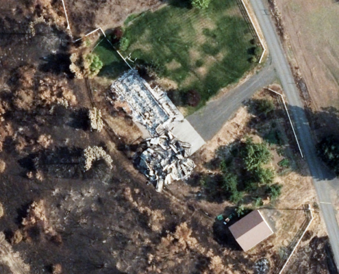 https://vexceldata.com/wp-content/uploads/2024/08/after1-borel.jpg
904
1608
kris.wagner
https://vexceldata.com/wp-content/uploads/2021/12/VEXCEL-Data-Program.png
kris.wagner2024-08-05 21:27:462026-04-14 15:43:24Gray Sky Event: Borel Fire
https://vexceldata.com/wp-content/uploads/2024/08/after1-borel.jpg
904
1608
kris.wagner
https://vexceldata.com/wp-content/uploads/2021/12/VEXCEL-Data-Program.png
kris.wagner2024-08-05 21:27:462026-04-14 15:43:24Gray Sky Event: Borel Fire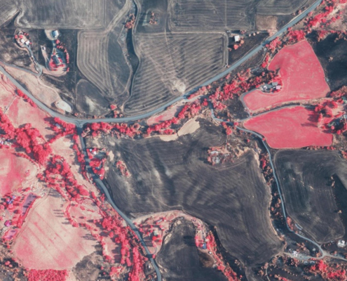 https://vexceldata.com/wp-content/uploads/2024/08/gic-gwen-fire-multispectral-46.474445_-116.672927.jpg
576
1024
kris.wagner
https://vexceldata.com/wp-content/uploads/2021/12/VEXCEL-Data-Program.png
kris.wagner2024-08-03 06:38:552026-04-14 15:43:25Gray Sky Event: Gwen Fire
https://vexceldata.com/wp-content/uploads/2024/08/gic-gwen-fire-multispectral-46.474445_-116.672927.jpg
576
1024
kris.wagner
https://vexceldata.com/wp-content/uploads/2021/12/VEXCEL-Data-Program.png
kris.wagner2024-08-03 06:38:552026-04-14 15:43:25Gray Sky Event: Gwen Fire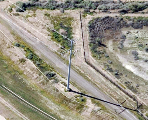 https://vexceldata.com/wp-content/uploads/2024/07/33.383524-112.229215-power-pole.jpg
576
1024
vexcel
https://vexceldata.com/wp-content/uploads/2021/12/VEXCEL-Data-Program.png
vexcel2024-07-30 07:16:182024-08-01 07:15:33How High-Res Aerial Imagery Revolutionizes Asset Management in the Utility Sector
https://vexceldata.com/wp-content/uploads/2024/07/33.383524-112.229215-power-pole.jpg
576
1024
vexcel
https://vexceldata.com/wp-content/uploads/2021/12/VEXCEL-Data-Program.png
vexcel2024-07-30 07:16:182024-08-01 07:15:33How High-Res Aerial Imagery Revolutionizes Asset Management in the Utility Sector
