
Vexcel Expands Aerial Imagery Program into Mexico
New collection program delivers high-resolution aerial imagery and geospatial data products to Mexico’s largest cities.

CENTENNIAL, Colo. (June 9, 2026) — Vexcel, operator of the world’s largest aerial imagery program, today announced the expansion of its aerial imagery collection program into Mexico, bringing high-resolution aerial imagery and geospatial data to many of the country’s largest metropolitan areas.
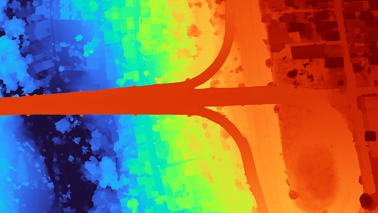
Collection flights began earlier this year using Vexcel’s market-leading UltraCam Osprey sensor. Vexcel plans to collect approximately 50,000 km² (~20,000 sq mi) of high-resolution aerial imagery across 40 cities and metropolitan areas, including Mexico City, Guadalajara, Monterrey, Puebla, and Tijuana. The planned coverage represents nearly 54% of Mexico’s population. More than 5,200 km² (~2,000 sq mi) have already been collected in Mexico this year.
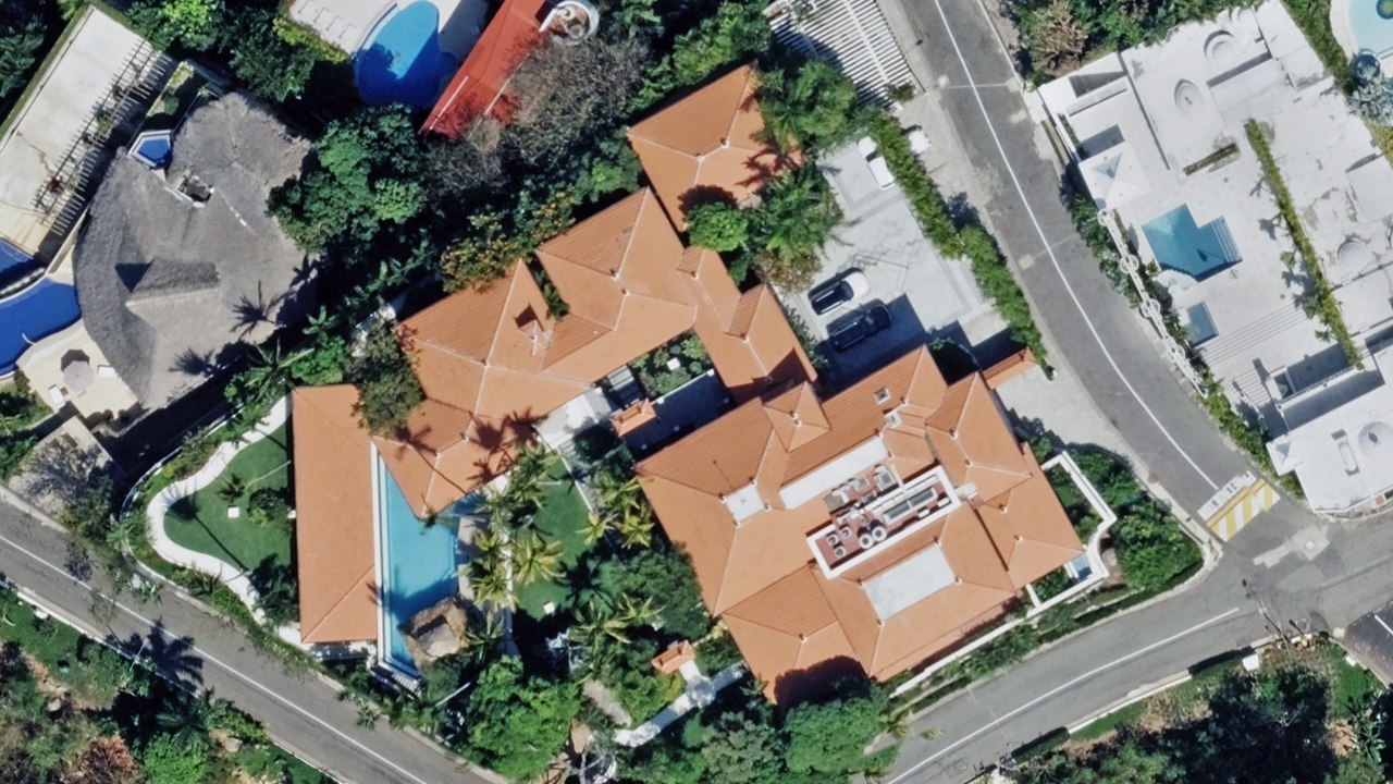
The Mexico program will deliver a suite of high-resolution geospatial products at 7.5cm resolution, including TrueOrtho imagery, Oblique imagery, and Multispectral imagery. A Digital Surface Model will also be produced to match the ortho imagery at an absolute 15cm vertical accuracy and 144 points per square meter. These datasets provide detailed, current views of the built and natural environment to support government, infrastructure, insurance, mapping, AI, and location intelligence applications.
“Mexico represents an important expansion of our global aerial imagery program,” said Rob Agee, Chief Operating Officer at Vexcel.
“Organizations increasingly rely on high-resolution, current imagery to inventory places, understand change, fuel AI models, and make informed decisions. Our new collections will bring the same consistency, quality, and coverage that customers depend on throughout North America and around the world.”
The expansion further strengthens Vexcel’s ongoing aerial imagery program, which spans more than 45 countries and territories worldwide and delivers high-resolution geospatial data through the Vexcel Platform (APIs, MCP, Image Services, Viewer) and select partner networks.
Learn more and see imagery from Vexcel’s Mexico coverage at vexceldata.com/mexico.

