2021 – A Year Full of Announcements
After the tumultuous year that was 2020, we were all looking ahead to what 2021 would bring. Would it be another year of intense weather patterns? Would we see new opportunities come out of learning how to work in a pandemic-driven world? For Vexcel, it was all this and so much more.
New beginnings
The start of this past year saw an entirely brand new website for Vexcel Data Program. Previously, the only other site for the Vexcel Group was with our sister company, Vexcel Imaging. But now our customers and prospects could begin to see what we’ve been putting together since 2017 with the launch of our data program.
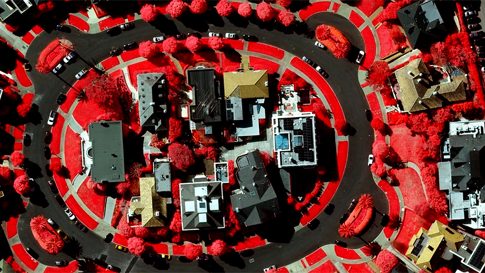
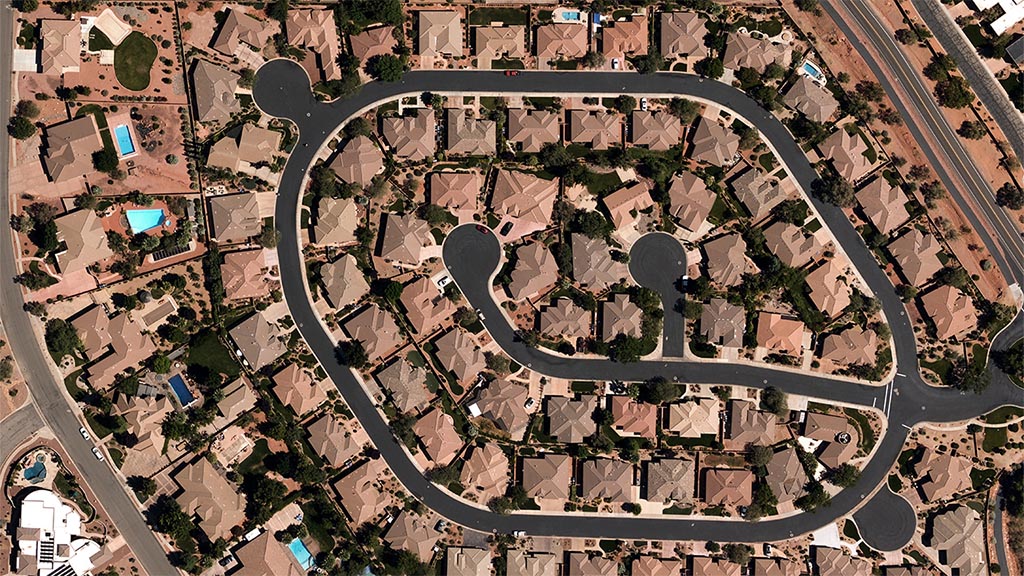
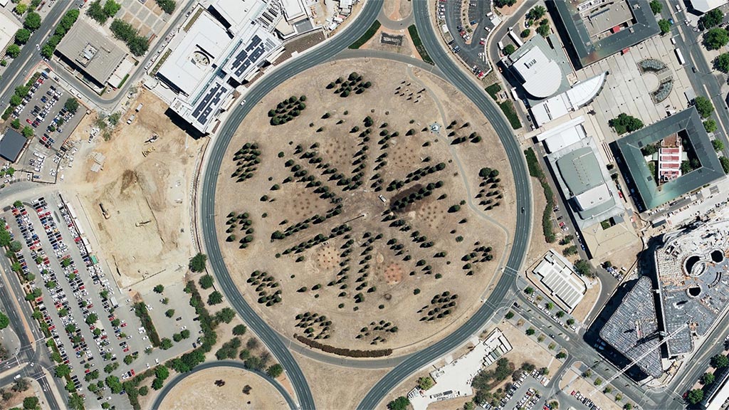
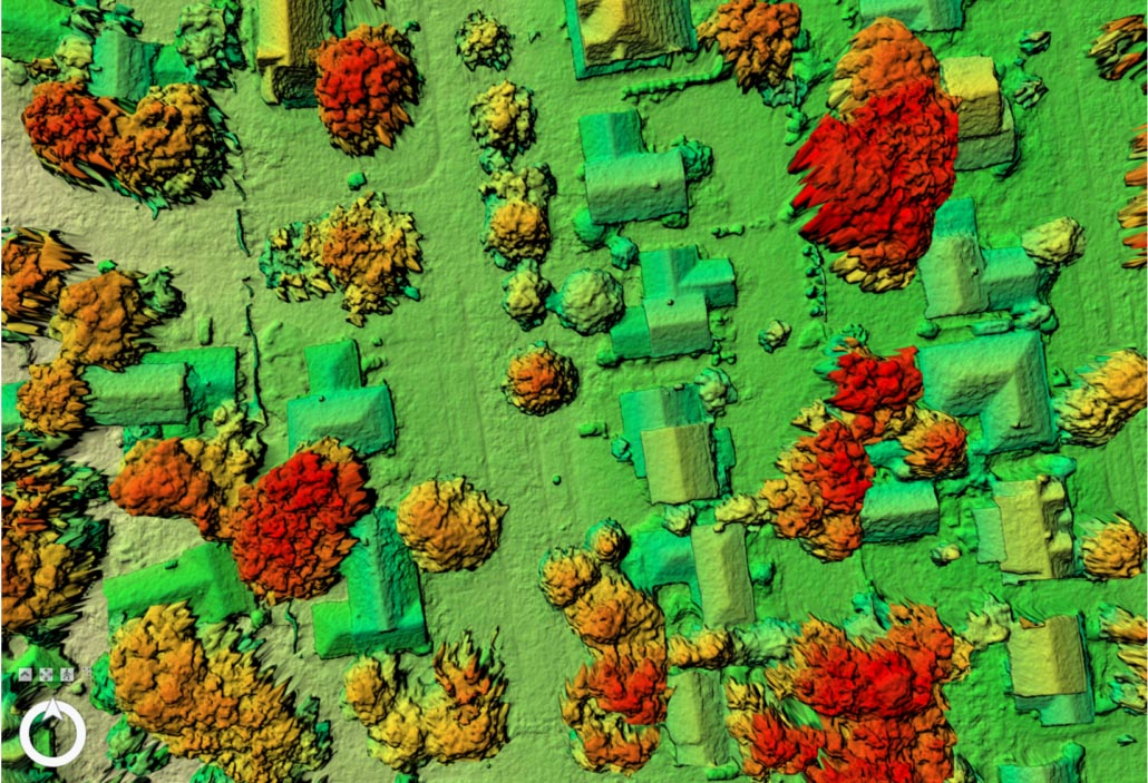
Visitors to our site can now see the full breadth of Products that we offer, from Digital Surface Model (DSM) to Oblique, True Ortho to Multispectral. Plus, we introduced a variety of use cases across multiple industries so GIS analysts, project planners, and developers could get a better grasp on how to use our data to improve and enhance their workflows.
New Country Collections + Enhanced Wide Area
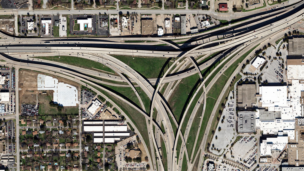
Beyond our website, we also expanded our reach into Japan and Puerto Rico. Adding in these countries to our already impressive list means we now collect aerial data in over 20 countries around the world, making us the world’s largest aerial imagery and geospatial data provider. Plus, this past year we published more imagery than we ever have in previous years; we’re talking petabytes of data!
For our Wide Area program, which collects on into rural areas, we announced a welcome enhancement thanks to our new UltraCam Condor 4.1 sensors . Imagery would now be collected at 15 cm resolution instead of the previous 20 cm resolution. This higher resolution imagery will be captured across the U.S. and Western Europe.
Enhancements to Viewer
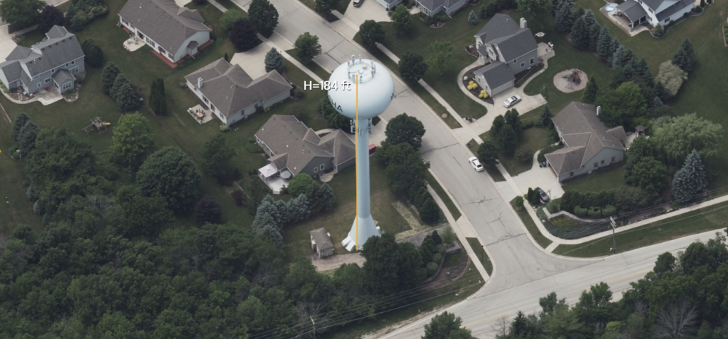
There were multiple updates and enhancements to Viewer, our web application for accessing data online. The biggest updates came in the form of a Compass Control Tool with 2D and 3D options, Timeline Tool, and Dual View. But we didn’t stop there; we rolled out a new Data Search feature, and most recently, the latest 3D measurement tools all within our platform.
Additional Property Insights & APIs
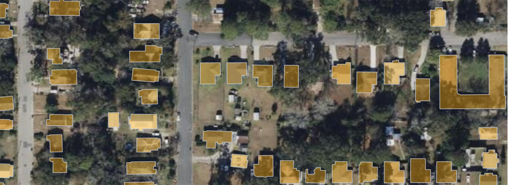
Finally, but not the least of all, we announced the addition of critical feature extraction from our high-res imagery such as Building Footprints and Property Attributes, and new APIs that allow users to extract large orthomosaic tiles and a faster way to access Digital Surface Model data (including a very helpful webinar on DSM).
Ongoing Disaster Imagery Collection
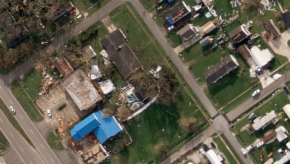
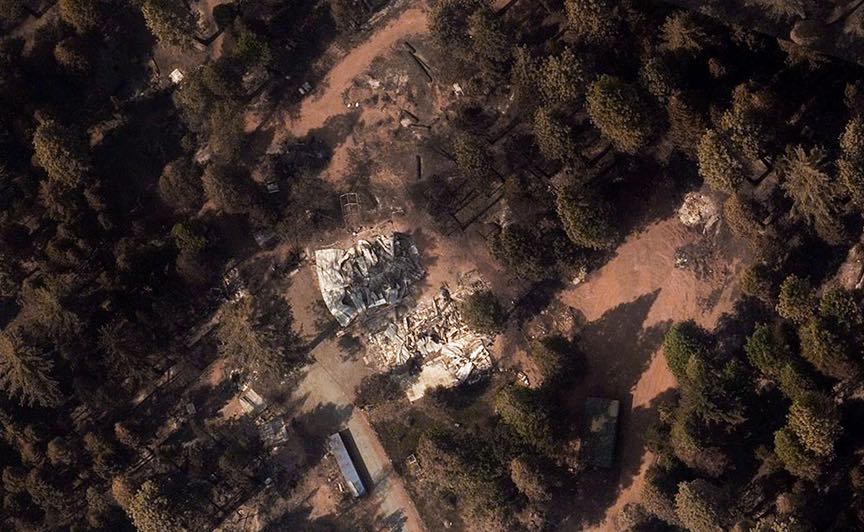
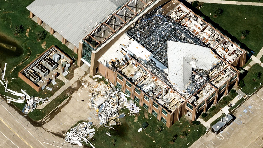
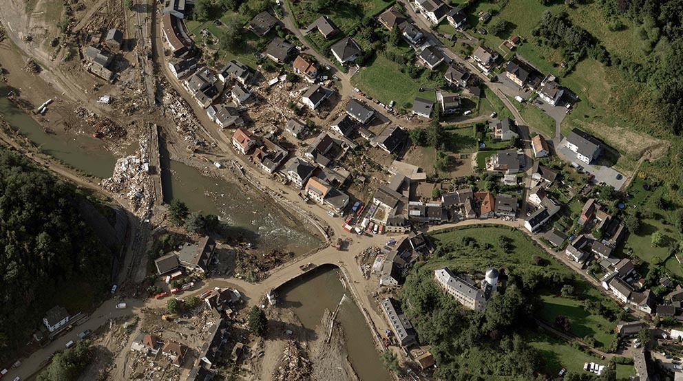
Although not a new program or feature, we would be remiss not to mention the many catastrophic weather events we helped collect as the Operations Partner for the Geospatial Insurance Consortium (GIC). A first was collecting disaster imagery in Europe for the flooding that occurred in Germany. More events were monitored this year as devastation from tornadoes, wildfires, and hurricanes affected thousands of people, their communities, and their businesses. You can read about the latest capture for the recent tornadoes on the GIC’s website here.
What a year it’s been for our team, a constant line of productivity and innovation happening across the board. We are grateful for every moment and look forward to what 2022 will bring that we know will delight and inspire our customers. Our global team around the world–from Australia to Spain, Austria to the U.S.–has pushed through many challenges to continue to provide the highest quality of aerial data available. And they’ll continue to roll out new product and publish petabytes of data on into 2022!
Happy Holidays from the Vexcel team–we wish you a safe, healthy season and a wonderful New Year!









 GIC
GIC