
Tag Archive for: satellite imagery
 https://vexceldata.com/wp-content/uploads/2025/07/VEX-623-GRA-Satellite-vs-Aerial-Graphic_Light-BG_Satellite-Aerial.png
576
1024
vexcel
https://vexceldata.com/wp-content/uploads/2021/12/VEXCEL-Data-Program.png
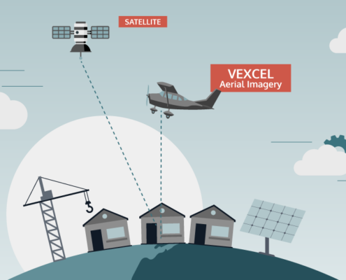
vexcel2025-07-03 08:38:432025-08-25 16:17:27Aerial vs. Satellite Imagery: What’s the Difference, and Why It Matters
https://vexceldata.com/wp-content/uploads/2025/07/VEX-623-GRA-Satellite-vs-Aerial-Graphic_Light-BG_Satellite-Aerial.png
576
1024
vexcel
https://vexceldata.com/wp-content/uploads/2021/12/VEXCEL-Data-Program.png
vexcel2025-07-03 08:38:432025-08-25 16:17:27Aerial vs. Satellite Imagery: What’s the Difference, and Why It Matters