
Tag Archive for: new mexico wildfire
 https://vexceldata.com/wp-content/uploads/2022/04/33.358574-105.642968_after.jpeg
989
1759
Angie Brewster
https://vexceldata.com/wp-content/uploads/2021/12/VEXCEL-Data-Program.png
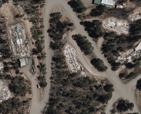
Angie Brewster2022-04-14 09:53:212024-10-08 08:37:00Gray Sky Event: Wildfire Spreads Fast Across New Mexico
https://vexceldata.com/wp-content/uploads/2022/04/33.358574-105.642968_after.jpeg
989
1759
Angie Brewster
https://vexceldata.com/wp-content/uploads/2021/12/VEXCEL-Data-Program.png
Angie Brewster2022-04-14 09:53:212024-10-08 08:37:00Gray Sky Event: Wildfire Spreads Fast Across New Mexico