 https://vexceldata.com/wp-content/uploads/2022/10/03-Hurricane-Caguas-Fiona-US-PR-after.jpg
720
1280
kris.wagner
https://vexceldata.com/wp-content/uploads/2021/12/VEXCEL-Data-Program.png
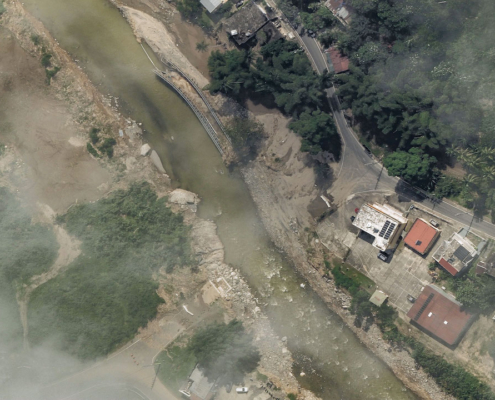
kris.wagner2022-10-12 10:24:222024-10-08 08:36:54Gray Sky Event: Hurricane Fiona in Puerto Rico
https://vexceldata.com/wp-content/uploads/2022/10/03-Hurricane-Caguas-Fiona-US-PR-after.jpg
720
1280
kris.wagner
https://vexceldata.com/wp-content/uploads/2021/12/VEXCEL-Data-Program.png
kris.wagner2022-10-12 10:24:222024-10-08 08:36:54Gray Sky Event: Hurricane Fiona in Puerto Rico Vexcel Data Program
https://vexceldata.com/wp-content/uploads/2021/04/digital-elevation_model_digital_surface_model_dsm.jpg
700
1920
kris.wagner
https://vexceldata.com/wp-content/uploads/2021/12/VEXCEL-Data-Program.png
kris.wagner2021-04-28 15:31:222026-01-26 15:24:39Webinar: Supercharge Your Location Intelligence with Digital Surface Models
Vexcel Data Program
https://vexceldata.com/wp-content/uploads/2021/04/digital-elevation_model_digital_surface_model_dsm.jpg
700
1920
kris.wagner
https://vexceldata.com/wp-content/uploads/2021/12/VEXCEL-Data-Program.png
kris.wagner2021-04-28 15:31:222026-01-26 15:24:39Webinar: Supercharge Your Location Intelligence with Digital Surface Models
